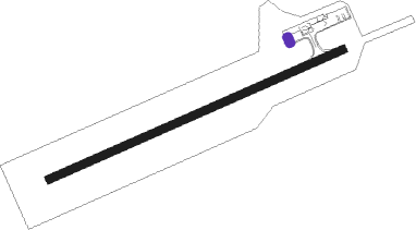
Petersburg - Petersburg James A Johnson
Airport details
| Country | United States of America |
| State | Alaska |
| Region | PA |
| Municipality | Petersburg |
| Elevation | 104ft (32m) |
| Timezone | GMT -9 |
| Coordinates | 56.80147, -132.94623 |
| Magnetic var | |
| Type | land |
| Available since | X-Plane v10.40 |
| ICAO code | PAPG |
| IATA code | PSG |
| FAA code | PSG |
Communication
| Petersburg James A Johnson AWOS 3 | 125.800 |
| Petersburg James A Johnson CTAF | 122.500 |
Approach frequencies
| LOC | RW23 | 110.5 | 18.00mi |
Nearby Points of Interest:
Sons of Norway Hall
-M/V Chugach Ranger
-Chief Shakes Historic Site
Nearby beacons
| code | identifier | dist | bearing | frequency |
|---|---|---|---|---|
| LVD | LEVEL ISLAND VOR/DME | 20.5 | 202° | 116.50 |
| SQM | SUMNER STRAIT (LEVEL I.) NDB | 20.8 | 204° | 529 |
| RGL | WRANGELL NDB | 26.3 | 119° | 206 |
| AFE | KAKE NDB | 33.1 | 280° | 223 |
Departure and arrival routes
| Transition altitude | 18000ft |
| Transition level | 18000ft |
| SID end points | distance | outbound heading | |
|---|---|---|---|
| RW05 | |||
| PTRSG1 | 132mi | 300° | |
| RW23 | |||
| PTRSG1 | 132mi | 300° | |
Instrument approach procedures
| runway | airway (heading) | route (dist, bearing) |
|---|---|---|
| RWNVB | LVD (22°) | LVD REZTO (33mi, 17°) 5600ft REZTO (turn) 5600ft |
| RWNVB | ZARUT (106°) | ZARUT REZTO (29mi, 92°) 5600ft REZTO (turn) 5600ft |
| RNAV | REZTO 5600ft CUPUP (5mi, 175°) 4100ft MELZI (2mi, 192°) 3500ft JOHBU (4mi, 192°) 3080ft WAKEV (3mi, 192°) LVD (20mi, 205°) 6000ft LVD (turn) |
Disclaimer
The information on this website is not for real aviation. Use this data with the X-Plane flight simulator only! Data taken with kind consent from X-Plane 12 source code and data files. Content is subject to change without notice.
