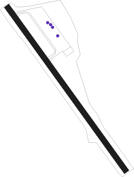
Sand Point
Airport details
| Country | United States of America |
| State | Alaska |
| Region | PA |
| Municipality | Sand Point |
| Elevation | 22ft (7m) |
| Timezone | GMT -9 |
| Coordinates | 55.31369, -160.52142 |
| Magnetic var | |
| Type | land |
| Available since | X-Plane v10.40 |
| ICAO code | PASD |
| IATA code | SDP |
| FAA code | SDP |
Communication
| Sand Point AWOS 3 | 134.850 |
| Sand Point CTAF | 122.300 |
| Sand Point UNICOM | 122.800 |
Nearby Points of Interest:
St. Nicholas Chapel
Nearby beacons
| code | identifier | dist | bearing | frequency |
|---|---|---|---|---|
| HBT | BORLAND (SAND POINT) NDB | 0.1 | 57° | 390 |
Departure and arrival routes
| Transition altitude | 18000ft |
| Transition level | 18000ft |
| SID end points | distance | outbound heading | |
|---|---|---|---|
| RW14 | |||
| RAYMD3 | 20mi | 48° | |
| RW32 | |||
| RAYMD3 | 20mi | 48° | |
Instrument approach procedures
| runway | airway (heading) | route (dist, bearing) |
|---|---|---|
| RW14-Y | RAYMD (228°) | RAYMD KOANS (17mi, 262°) 3600ft |
| RNAV | KOANS 3600ft JETLO (5mi, 162°) 3500ft HEMPY (6mi, 133°) 1100ft HEVIL (2mi, 133°) 303ft (7353mi, 109°) 424ft FOBAN (7359mi, 289°) REOIL (11mi, 245°) SETIE (12mi, 288°) DUGAC (11mi, 315°) 5000ft DUGAC (turn) | |
| RW14-Z | DUGAC (90°) | DUGAC POSAE (11mi, 71°) 2900ft |
| RNAV | POSAE 2900ft PREED (6mi, 98°) 2300ft MOMEE (3mi, 117°) 1080ft ORPIE (2mi, 117°) 257ft (7353mi, 109°) 424ft FOBAN (7359mi, 289°) REOIL (11mi, 245°) SETIE (12mi, 288°) DUGAC (11mi, 315°) 5000ft DUGAC (turn) | |
| RW32 | COVOX (313°) | COVOX 4100ft |
| RW32 | DODPE (359°) | DODPE COVOX (8mi, 71°) 4100ft |
| RW32 | HORKA (287°) | HORKA COVOX (8mi, 251°) 4100ft |
| RNAV | COVOX 4100ft FONIN (8mi, 313°) 1700ft PASD (5mi, 313°) 59ft (7354mi, 109°) 424ft POYNE (7351mi, 289°) RESEW (8mi, 40°) CUBPA (16mi, 93°) 7000ft CUBPA (turn) 7000ft |
Disclaimer
The information on this website is not for real aviation. Use this data with the X-Plane flight simulator only! Data taken with kind consent from X-Plane 12 source code and data files. Content is subject to change without notice.
