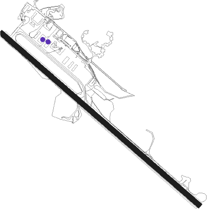
Sitka - Sitka Rocky Gutierrez
Airport details
| Country | United States of America |
| State | Alaska |
| Region | PA |
| Municipality | Sitka |
| Elevation | 20ft (6m) |
| Timezone | GMT -9 |
| Coordinates | 57.04683, -135.36107 |
| Magnetic var | |
| Type | land |
| Available since | X-Plane v10.40 |
| ICAO code | PASI |
| IATA code | SIT |
| FAA code | SIT |
Communication
| Sitka Rocky Gutierrez ATIS | 135.900 |
| Sitka Rocky Gutierrez CTAF | 123.600 |
| Sitka Rocky Gutierrez UNICOM | 122.950 |
Approach frequencies
| LDA | RW11 | 108.9 | 18.00mi |
Nearby Points of Interest:
Sitka Naval Operating Base and U.S. Army Coastal Defenses
-Alaska Native Brotherhood Hall
-Sitka United States Post Office and Court House
-Sitka Pioneer Home
-Mills House
-US Coast Guard and Geodetic Survey Seismological and Geomagnetic House
-Russian-American Building No. 29
-W.P. Mills House
-Hanlon-Osbakken House
-See House
-Old Sitka
Nearby beacons
| code | identifier | dist | bearing | frequency |
|---|---|---|---|---|
| IME | MOUNT EDGECUMBE (SITKA) NDB | 0.1 | 276° | 414 |
| BKA | BIORKA ISLAND (SITKA) VORTAC | 12.8 | 225° | 113.80 |
| SIT | SITKA NDB | 12.8 | 222° | 358 |
Departure and arrival routes
| Transition altitude | 18000ft |
| Transition level | 18000ft |
| SID end points | distance | outbound heading | |
|---|---|---|---|
| RW11 | |||
| STKA9 | 68mi | 5° | |
| MANGM1 | 13mi | 222° | |
| BKA4 | 13mi | 225° | |
| RW29 | |||
| STKA9 | 68mi | 5° | |
| MANGM1 | 13mi | 222° | |
| BKA4 | 13mi | 225° | |
Instrument approach procedures
| runway | airway (heading) | route (dist, bearing) |
|---|---|---|
| RW11 | BKA (45°) | BKA HESOK (22mi, 343°) 3900ft HESOK (turn) 3900ft |
| RW11 | CLUCK (139°) | CLUCK HESOK (9mi, 192°) 3900ft |
| RW11 | SALIS (110°) | SALIS HESOK (23mi, 105°) 3900ft |
| RNAV | HESOK 3900ft TIPEH (6mi, 119°) 2500ft ILWAF (4mi, 119°) 1360ft WEGWI (4mi, 119°) 234ft (6773mi, 113°) 427ft BKA (6785mi, 293°) 5000ft BKA (turn) 5000ft |
Disclaimer
The information on this website is not for real aviation. Use this data with the X-Plane flight simulator only! Data taken with kind consent from X-Plane 12 source code and data files. Content is subject to change without notice.
