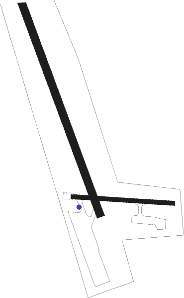
Unalakleet
Airport details
| Country | United States of America |
| State | Alaska |
| Region | PA |
| Municipality | Unalakleet |
| Elevation | 65ft (20m) |
| Timezone | GMT -9 |
| Coordinates | 63.88850, -160.79912 |
| Magnetic var | |
| Type | land |
| Available since | X-Plane v10.40 |
| ICAO code | PAUN |
| IATA code | UNK |
| FAA code | UNK |
Communication
| Unalakleet AWOS | 123.250 |
| Unalakleet CTAF | 123.000 |
Approach frequencies
| LOC | RW15 | 111.3 | 18.00mi |
Nearby Points of Interest:
Bureau of Indian Affairs Unalakleet School
Nearby beacons
| code | identifier | dist | bearing | frequency |
|---|---|---|---|---|
| JNR | NORTH RIVER (UNALAKLEET) NDB | 1.2 | 326° | 382 |
| UNK | UNALAKLEET VOR/DME | 3 | 88° | 116.90 |
Instrument approach procedures
| runway | airway (heading) | route (dist, bearing) |
|---|---|---|
| RW33 | HERLA (63°) | HERLA ZOGTA (6mi, 93°) 3700ft |
| RW33 | UNK (268°) | UNK ZOGTA (13mi, 229°) 3700ft ZOGTA (turn) 3700ft |
| RW33 | VUSUY (9°) | VUSUY ZOGTA (16mi, 353°) 3700ft |
| RW33 | YAGUN (277°) | YAGUN ZOGTA (21mi, 262°) 4000ft ZOGTA (turn) 3700ft |
| RNAV | ZOGTA 3700ft WIKIP (4mi, 51°) 2500ft BEJJI (2mi, 51°) 1800ft AGSIH (5mi, 358°) 226ft (6881mi, 112°) 427ft HERLA (6893mi, 292°) 3700ft HERLA (turn) 3700ft | |
| RWNVA | EARMI (101°) | EARMI 3000ft |
| RNAV | EARMI 3000ft KIBMY (8mi, 99°) 1700ft DEYZI (5mi, 105°) 860ft (6880mi, 112°) 860ft EARMI (6880mi, 292°) 3000ft EARMI (turn) |
Disclaimer
The information on this website is not for real aviation. Use this data with the X-Plane flight simulator only! Data taken with kind consent from X-Plane 12 source code and data files. Content is subject to change without notice.

