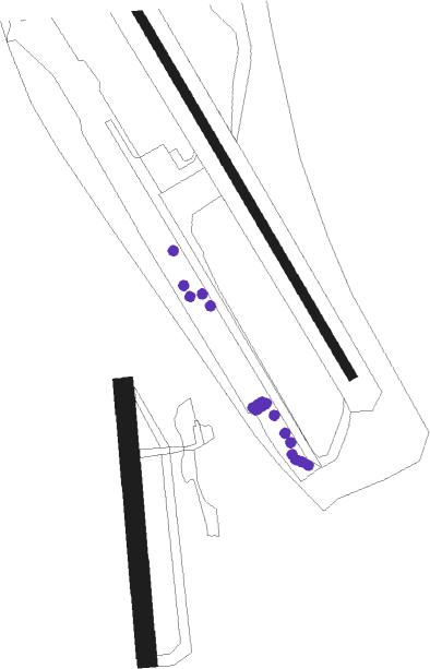
Willow
Airport details
| Country | United States of America |
| State | Alaska |
| Region | PA |
| Municipality | Willow |
| Elevation | 221ft (67m) |
| Timezone | GMT -9 |
| Coordinates | 61.75183, -150.05373 |
| Magnetic var | |
| Type | land |
| Available since | X-Plane v10.40 |
| ICAO code | PAUO |
| IATA code | WOW |
| FAA code | UUO |
Communication
| Willow CTAF | 122.800 |
Nearby beacons
| code | identifier | dist | bearing | frequency |
|---|---|---|---|---|
| BGQ | BIG LAKE VORTAC | 11.2 | 155° | 112.50 |
| EDF | ELMENDORF (ANCHORAGE) TACAN | 30.9 | 150° | 113.40 |
| TKA | TALKEETNA VOR/DME | 32.8 | 355° | 116.20 |
| PEE | PETERS CREEK (TALKEETNA) NDB | 34.8 | 356° | 305 |
| TED | ANCHORAGE VOR/DME | 35.1 | 171° | 113.15 |
Departure and arrival routes
| Transition altitude | 18000ft |
| Transition level | 18000ft |
| SID end points | distance | outbound heading | |
|---|---|---|---|
| RW13 | |||
| BGQ2 | 11mi | 155° | |
| RW31 | |||
| BGQ2 | 11mi | 155° | |
Instrument approach procedures
| runway | airway (heading) | route (dist, bearing) |
|---|---|---|
| RW13 | FODVU (134°) | FODVU 3100ft |
| RW13 | ZUSRA (116°) | ZUSRA 3100ft FODVU (5mi, 77°) 3100ft |
| RNAV | FODVU 3100ft COVEV (9mi, 133°) 2000ft KOTRE (5mi, 134°) 390ft (6859mi, 112°) 615ft ZUSRA (6856mi, 292°) 3100ft ZUSRA (turn) | |
| RW31 | NAYBI (313°) | NAYBI 3200ft |
| RW31 | TADYU (352°) | TADYU 3200ft NAYBI (5mi, 77°) 3200ft |
| RNAV | NAYBI 3200ft JABUV (6mi, 314°) 2100ft PEDTI (5mi, 314°) 448ft (6860mi, 112°) 615ft TADYU (6869mi, 292°) 3200ft TADYU (turn) |
Disclaimer
The information on this website is not for real aviation. Use this data with the X-Plane flight simulator only! Data taken with kind consent from X-Plane 12 source code and data files. Content is subject to change without notice.

