Wasilla
Airport details
| Country | United States of America |
| State | Alaska |
| Region | PA |
| Municipality | Wasilla |
| Elevation | 354ft (108m) |
| Timezone | GMT -9 |
| Coordinates | 61.57199, -149.53955 |
| Magnetic var | |
| Type | land |
| Available since | X-Plane v10.40 |
| ICAO code | PAWS |
| IATA code | WWA |
| FAA code | IYS |
Communication
| Wasilla PAWS CTAF | 122.800 |
Nearby Points of Interest:
Teeland's Country Store
-Wasilla Elementary School
-Spring Creek Lodge
-Campbell House
-Raymond Rebarchek Colony Farm
-Palmer Depot
-Bailey Colony Farm
-United Protestant Church
-Hyland Hotel
-Site Summit
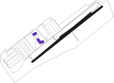
Runway info
Runway 4 / 22  | ||
| length | 1125m (3691ft) | |
| bearing | 72° / 252° | |
| width | 23m (75ft) | |
| surface | asphalt | |
| blast zone | 61m (200ft) / 91m (299ft) | |
| Runway 04S / 22 | ||
| length | 654m (2146ft) | |
| bearing | 74° / 254° | |
| width | 18m (60ft) | |
| surface | gravel | |
| blast zone | 0m (0ft) / 91m (299ft) | |
Nearby beacons
| code | identifier | dist | bearing | frequency |
|---|---|---|---|---|
| BGQ | BIG LAKE VORTAC | 12.2 | 270° | 112.50 |
| EDF | ELMENDORF (ANCHORAGE) TACAN | 20.1 | 216° | 113.40 |
| TED | ANCHORAGE VOR/DME | 27.1 | 226° | 113.15 |
| TKA | TALKEETNA VOR/DME | 46.4 | 322° | 116.20 |
| PEE | PETERS CREEK (TALKEETNA) NDB | 48.2 | 324° | 305 |
Instrument approach procedures
| runway | airway (heading) | route (dist, bearing) |
|---|---|---|
| RW04 | AVERR (72°) | AVERR 2500ft |
| RW04 | HEVEB (88°) | HEVEB AVERR (15mi, 98°) 2500ft |
| RNAV | AVERR 2500ft FRIZL (5mi, 72°) 1900ft ZINEV (3mi, 72°) 960ft PAWS (2mi, 72°) 381ft (6860mi, 112°) 1000ft BGQ (6867mi, 292°) 3000ft BGQ (turn) | |
| RW22 | ZEXTU (258°) | ZEXTU ZALEG (11mi, 261°) 6200ft JODBI (5mi, 260°) 4400ft |
| RNAV | JODBI 4400ft WOKNA (6mi, 258°) 2500ft ODUWU (4mi, 252°) 1060ft PAWS (2mi, 252°) 394ft (6860mi, 112°) 1000ft BGQ (6867mi, 292°) 3000ft BGQ (turn) |
Disclaimer
The information on this website is not for real aviation. Use this data with the X-Plane flight simulator only! Data taken with kind consent from X-Plane 12 source code and data files. Content is subject to change without notice.