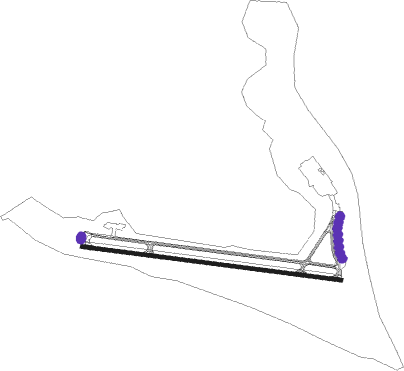
Wake Island - Wake Island Airfield
Airport details
| Country | United States of America |
| State | Wake Island |
| Region | PW |
| Municipality | United States Minor Outlying Islands |
| Elevation | 14ft (4m) |
| Timezone | GMT -10 |
| Coordinates | 19.28249, 166.63666 |
| Magnetic var | |
| Type | land |
| Available since | X-Plane v10.40 |
| ICAO code | PWAK |
| IATA code | AWK |
| FAA code | n/a |
Communication
| Wake Island Airfield OPS AAS | 128.000 |
Nearby beacons
| code | identifier | dist | bearing | frequency |
|---|---|---|---|---|
| AWK | WAKE I. VORTAC | 0.5 | 294° | 113.50 |
Instrument approach procedures
| runway | airway (heading) | route (dist, bearing) |
|---|---|---|
| RW10 | ESPAD (101°) | ESPAD DUPUF (8mi, 101°) 2900ft |
| RNAV | DUPUF 2900ft ENCIN (6mi, 101°) 2000ft PWAK (7mi, 101°) 83ft NONEY (13mi, 101°) 4000ft NONEY (turn) 6000ft | |
| RW28 | CANKU (281°) | CANKU NONEY (8mi, 281°) 2900ft |
| RNAV | NONEY 2900ft CONOP (6mi, 281°) 2000ft PWAK (7mi, 281°) 80ft DUPUF (13mi, 281°) 4000ft DUPUF (turn) 6000ft |
Disclaimer
The information on this website is not for real aviation. Use this data with the X-Plane flight simulator only! Data taken with kind consent from X-Plane 12 source code and data files. Content is subject to change without notice.