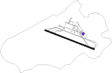
Ashiya
Airport details
| Country | Japan |
| State | Fukuoka Prefecture |
| Region | RJ |
| Airspace | Fukuoka Ctr |
| Municipality | Ashiya |
| Elevation | 98ft (30m) |
| Timezone | GMT +9 |
| Coordinates | 33.88496, 130.65633 |
| Magnetic var | |
| Type | land |
| Available since | X-Plane v10.32 |
| ICAO code | RJFA |
| IATA code | n/a |
| FAA code | n/a |
Communication
| Ashiya Tower | 126.200 |
| Ashiya GCA | 134.100 |
Nearby Points of Interest:
Kawachi Dam
-Shimonoseki Nabechō Post Office
-Kanmon Straits
-Former Moji Mitsui Club
-Kōzan-ji
-Sumiyoshi Jinja
-Kashii-gū
-Hakozaki Shrine
-Ōno Castle
-Dazaifu Gakkōin
-Dazaifu
-Mizuki
-Kii Castle
-Imamura Church
Nearby beacons
| code | identifier | dist | bearing | frequency |
|---|---|---|---|---|
| AHT | ASHIYA TACAN | 0.3 | 291° | 108.60 |
| DGC | FUKUOKA VORTAC | 18.2 | 232° | 114.50 |
| SWE | SUOH (KITAKYUSHU) VOR/DME | 18.6 | 94° | 113.85 |
| OCT | OZUKI (SHIMONOSEKI) TACAN | 21.8 | 68° | 112.15 |
| TQT | TSUIKI TACAN | 22.3 | 117° | 110.40 |
| UBE | UBE (YAMAGUCHI) VOR/DME | 31.4 | 85° | 110.80 |
| IKE | IKI (IKISHIMA) VOR/DME | 44.6 | 261° | 113.20 |
| FMT | HOFU TACAN | 45.2 | 80° | 113 |
| SGE | SAGA VOR/DME | 47.8 | 206° | 114.75 |
| MIT | MISHIMA TACAN | 58.3 | 29° | 110.60 |
| JBT | OMURA TACAN | 68 | 217° | 114.05 |
| MNE | MINOSHIMA VOR/DME | 68.7 | 217° | 116.30 |
| OLE | NAGASAKI VOR/DME | 69.5 | 217° | 116.60 |
Departure and arrival routes
| Transition altitude | 14000ft |
| Transition level | 14000ft |
| SID end points | distance | outbound heading | |
|---|---|---|---|
| RW12 | |||
| MIT2 | 58mi | 29° | |
| AHT4E | 75mi | 83° | |
| RW30 | |||
| MIT2 | 58mi | 29° | |
| AHT4E | 75mi | 83° | |
| STAR starting points | distance | inbound heading | |
|---|---|---|---|
| ALL | |||
| KANDA | 17.9 | 280° | |
| KANMO | 16.8 | 280° | |
Disclaimer
The information on this website is not for real aviation. Use this data with the X-Plane flight simulator only! Data taken with kind consent from X-Plane 12 source code and data files. Content is subject to change without notice.