Yonago - Miho Yonago Kitaro
Airport details
| Country | Japan |
| State | Shimane Prefecture |
| Region | RJ |
| Airspace | Fukuoka Ctr |
| Municipality | Sakaiminato |
| Elevation | 13ft (4m) |
| Timezone | GMT +9 |
| Coordinates | 35.49759, 133.24167 |
| Magnetic var | |
| Type | land |
| Available since | X-Plane v10.40 |
| ICAO code | RJOH |
| IATA code | YGJ |
| FAA code | n/a |
Communication
| Miho Yonago Kitaro Ground Control | 118.000 |
| Miho Yonago Kitaro Tower | 126.200 |
| Miho Yonago Kitaro Approach/Departure | 125.400 |
| Miho Yonago Kitaro Approach/Departure | 120.100 |
Approach frequencies
| ILS-cat-I | RW25 | 108.95 | 18.00mi |
| 3° GS | RW25 | 108.95 | 18.00mi |
Nearby Points of Interest:
Kamosu Jinja
-Shimane University Old Okudani Lodging
-Teiko Shiotani Memorial Photo Gallery
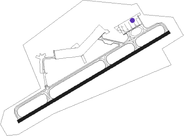
Runway info
| Runway 07 / 25 | ||
| length | 2487m (8159ft) | |
| bearing | 68° / 248° | |
| width | 45m (148ft) | |
| surface | asphalt | |
| blast zone | 64m (210ft) / 66m (217ft) | |
Nearby beacons
| code | identifier | dist | bearing | frequency |
|---|---|---|---|---|
| YGE | YONAGO VOR/DME | 0.7 | 76° | 117.30 |
| JET | MIHO (YONAGO) TACAN | 7.4 | 283° | 116.70 |
| XZE | IZUMO VOR/DME | 17.7 | 257° | 113.40 |
| OIE | OKI VOR/DME | 40.9 | 7° | 109.25 |
| TRE | TOTTORI VOR/DME | 45.1 | 88° | 110.20 |
| OYE | KIBI VOR/DME | 53.5 | 142° | 111 |
| OKT | OKAYAMA TACAN | 62.5 | 137° | 115.90 |
Departure and arrival routes
| Transition altitude | 14000ft |
| Transition level | 14000ft |
| SID end points | distance | outbound heading | |
|---|---|---|---|
| RW07 | |||
| USAGI2 | 163mi | 74° | |
| INABA5 | 93mi | 91° | |
| SOUTH8 | 41mi | 214° | |
| STAGE2 | 27mi | 279° | |
| DOZEN6 | 32mi | 360° | |
| RW25 | |||
| USAGI2 | 163mi | 74° | |
| INABA5 | 93mi | 91° | |
| SOUTH8 | 41mi | 214° | |
| STAGE2 | 27mi | 279° | |
| DOZEN6 | 32mi | 360° | |
| STAR starting points | distance | inbound heading | |
|---|---|---|---|
| RW07 | |||
| KYURIW | 28.2 | 113° | |
| KYURIE | 19.5 | 267° | |
| RW25 | |||
| GAINAW | 28.2 | 113° | |
| GAINAE | 19.5 | 267° | |
Holding patterns
| STAR name | hold at | type | turn | heading* | altitude | leg | speed limit |
|---|---|---|---|---|---|---|---|
| GAINAE | GAINA | VHF | right | 71 (251)° | > 4000ft | DME 6.0mi | 230 |
| GAINAW | GAINA | VHF | right | 71 (251)° | > 4000ft | DME 6.0mi | 230 |
| KYURIE | KYURI | VHF | right | 252 (72)° | > 3500ft | DME 5.5mi | 230 |
| KYURIW | KYURI | VHF | right | 252 (72)° | > 3500ft | DME 5.5mi | 230 |
| *) magnetic outbound (inbound) holding course | |||||||
Disclaimer
The information on this website is not for real aviation. Use this data with the X-Plane flight simulator only! Data taken with kind consent from X-Plane 12 source code and data files. Content is subject to change without notice.