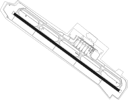
Nankoku - Kochi
Airport details
| Country | Japan |
| State | Kōchi Prefecture |
| Region | RJ |
| Airspace | Fukuoka Ctr |
| Municipality | Nankoku |
| Elevation | 41ft (12m) |
| Timezone | GMT +9 |
| Coordinates | 33.54433, 133.67480 |
| Magnetic var | |
| Type | land |
| Available since | X-Plane v10.40 |
| ICAO code | RJOK |
| IATA code | KCZ |
| FAA code | n/a |
Communication
Approach frequencies
| ILS-cat-I | RW32 | 110.9 | 18.00mi |
| 3° GS | RW32 | 110.9 | 18.00mi |
Nearby beacons
| code | identifier | dist | bearing | frequency |
|---|---|---|---|---|
| KRE | KOCHI VOR/DME | 0.3 | 115° | 113.70 |
| KTE | KAGAWA (TAKAMATSU) VOR/DME | 43.7 | 27° | 108.40 |
| TZT | TAKAMATSU TACAN | 48.9 | 20° | 117.50 |
| MYE | MATSUYAMA VOR/DME | 52 | 286° | 110.65 |
| KJT | KOMATSUSHIMA TACAN | 54.9 | 64° | 113.55 |
| TS | TOKUSHIMA NDB | 58.2 | 58° | 332 |
| SUC | SHIMIZU VORTAC | 58.3 | 221° | 115.20 |
| TSC | TOKUSHIMA VORTAC | 58.3 | 58° | 114.90 |
| AZE | ASHIZURI VOR/DME | 59.1 | 219° | 110 |
| HGE | HONGO (HIROSHIMA) VOR/DME | 65.2 | 320° | 117.90 |
| STD | DME | 65.3 | 32° | 114.40 |
Departure and arrival routes
| Transition altitude | 14000ft |
| Transition level | 14000ft |
| SID end points | distance | outbound heading | |
|---|---|---|---|
| RW14 | |||
| KARIN1 | 27mi | 76° | |
| KAIFU1 | 44mi | 86° | |
| MUROT1 | 106mi | 93° | |
| SUC6 | 58mi | 221° | |
| OMOGO2 | 25mi | 286° | |
| RW32 | |||
| KARIN1 | 27mi | 76° | |
| KAIFU1 | 44mi | 86° | |
| MUROT1 | 106mi | 93° | |
| SUC6 | 58mi | 221° | |
| OMOGO2 | 25mi | 286° | |
| STAR starting points | distance | inbound heading | |
|---|---|---|---|
| ALL | |||
| YOSAKS | 33.0 | 41° | |
| YOSAKW | 19.7 | 81° | |
| YOSAKN | 17.9 | 208° | |
| YOSAKE | 29.7 | 311° | |
Instrument approach procedures
| runway | airway (heading) | route (dist, bearing) |
|---|---|---|
| RW14-Y | ANPAN (306°) | ANPAN 4000ft KATUO (10mi, 283°) 4000ft |
| RNAV | KATUO 4000ft TATKY (4mi, 306°) 3500ft OK481 (2mi, 306°) 2922ft OK477 (4mi, 46°) 856ft RJOK (3mi, 124°) 92ft ANPAN (11mi, 126°) 4000ft ANPAN (turn) | |
| RW14-Z | ANPAN (306°) | ANPAN 4000ft NOITI (10mi, 332°) 4000ft |
| RNAV | NOITI 4000ft IGENO (4mi, 306°) 3500ft OK451 (2mi, 306°) 2922ft OK477 (4mi, 226°) 856ft RJOK (3mi, 124°) 92ft ANPAN (11mi, 126°) 4000ft ANPAN (turn) |
Disclaimer
The information on this website is not for real aviation. Use this data with the X-Plane flight simulator only! Data taken with kind consent from X-Plane 12 source code and data files. Content is subject to change without notice.