Utsunomiya
Airport details
| Country | Japan |
| State | Tochigi Prefecture |
| Region | RJ |
| Airspace | Fukuoka Ctr |
| Municipality | Utsunomiya |
| Elevation | 333ft (101m) |
| Timezone | GMT +9 |
| Coordinates | 36.51879, 139.87253 |
| Magnetic var | |
| Type | land |
| Available since | X-Plane v10.40 |
| ICAO code | RJTU |
| IATA code | n/a |
| FAA code | n/a |
Communication
| Utsunomiya Tower | 126.200 |
| Utsunomiya Approach | 120.100 |
| Utsunomiya Approach | 122.450 |
Nearby Points of Interest:
Ōya-dera
-Kogane Ichirizuka
-Cedar Avenue of Nikkō
-Inonagawari Site
-Shrines and Temples of Nikkō
-Former Tobita Family Residence
-Italian Embassy Villa Memorial Park
-Banna-ji
-Ashikaga Gakkō
-Hōzōji Pond
-Lake Yunoko
-Hitachi Kokubunji
-Ikushina Shrine
-Sakitama Kofun Cluster
-Seizansō
-Wisteria in Ushijima
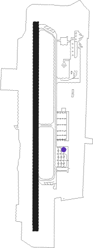
Runway info
| Runway 01 / 19 | ||
| length | 1688m (5538ft) | |
| bearing | 6° / 186° | |
| width | 46m (150ft) | |
| surface | concrete | |
| blast zone | 115m (377ft) / 0m (0ft) | |
Nearby beacons
| code | identifier | dist | bearing | frequency |
|---|---|---|---|---|
| JDT | UTSUNOMIYA TACAN | 0.1 | 121° | 112.15 |
| JD | NIKKO (UTSUNOMIYA) NDB | 1.9 | 197° | 389 |
| GOT | DAIGO TACAN | 26.7 | 65° | 115.30 |
| SYE | SEKIYADO VOR/DME | 30.5 | 184° | 117 |
| HUC | HYAKURI VORTAC | 32.8 | 122° | 113.30 |
| TLD | DME | 33.9 | 146° | 116 |
| SND | (TOKYO) DME | 35.4 | 169° | 114 |
| SHT | SHIMOFUSA (MATSUDO) TACAN | 43.5 | 169° | 108.20 |
| YLT | IRUMA TACAN | 46.4 | 214° | 110.60 |
| NRE | NARITA (TOKYO) VOR/DME | 50.2 | 146° | 117.90 |
| FKE | FUKUSHIMA VOR/DME | 50.3 | 39° | 113.45 |
| YOK | YOKOTA (TOKYO) TACAN | 52.7 | 214° | 113.80 |
| TN | SHIN-TACHIKAWA NDB | 53.2 | 211° | 366 |
| TNT | TACHIKAWA TACAN | 53.3 | 211° | 115.80 |
| HME | HANEDA (TOKYO) VOR/DME | 57.6 | 187° | 112.20 |
| CVT | CHOSHI TACAN | 65.4 | 131° | 113.60 |
Disclaimer
The information on this website is not for real aviation. Use this data with the X-Plane flight simulator only! Data taken with kind consent from X-Plane 12 source code and data files. Content is subject to change without notice.