Jochiwon - Jochiwon Airfield
Airport details
| Country | South Korea |
| State | Chungcheongnamdo |
| Region | |
| Airspace | Incheon Ctr |
| Municipality | Sejong |
| Elevation | 82ft (25m) |
| Timezone | GMT +9 |
| Coordinates | 36.57155, 127.29538 |
| Magnetic var | |
| Type | land |
| Available since | X-Plane v10.40 |
| ICAO code | RKUC |
| IATA code | n/a |
| FAA code | n/a |
Communication
Nearby Points of Interest:
Gongju Seonhwadang
-Sangdang Sanseong
-Donam Seowon
-Stele of Bongseon Honggyeongsa
-Jeongipumsong Pine Tree
-Anseong Dogi-dong Three-story Stone Pagoda
-Songnisan
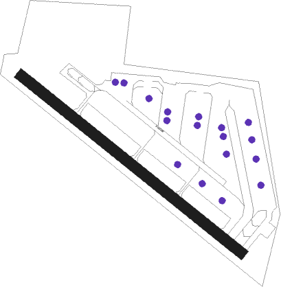
Runway info
| Runway 14 / 32 | ||
| length | 949m (3114ft) | |
| bearing | 127° / 307° | |
| width | 37m (120ft) | |
| surface | asphalt | |
| displ threshold | 104m (341ft) / 104m (341ft) | |
Nearby beacons
| code | identifier | dist | bearing | frequency |
|---|---|---|---|---|
| CHJ | CHEONGJU TACAN | 12.7 | 55° | 110.50 |
| CHO | CHEONGJU VOR/DME | 13 | 54° | 109 |
| PTK | PYONGTAEK VOR/DME | 27.6 | 325° | 108.20 |
| SOT | SONGTAN VORTAC | 33.8 | 333° | 116.90 |
| JWN | CHOONGWON TACAN | 39.8 | 52° | 111.30 |
| SAN | SEOSAN TACAN | 40 | 280° | 111.50 |
| SWN | SUWON TACAN | 42.5 | 336° | 108.50 |
| KUZ | KUNSAN VORTAC | 51.7 | 226° | 112.80 |
| KSM | SEOUL VOR/DME | 53.3 | 348° | 109.80 |
| SOL | SEOUL TACAN | 53.3 | 348° | 111.20 |
| SEL | ANYANG VORTAC | 53.5 | 336° | 115.50 |
| WNJ | WONJU TACAN | 60.7 | 38° | 111.60 |
| HGS | WONJU VOR/DME | 63.3 | 37° | 110.20 |
| KIP | GIMPO (SEOUL) VOR/DME | 63.9 | 333° | 113.60 |
| WNG | WANGSAN (SEOUL) VOR/DME | 65.7 | 316° | 112.90 |
| NCN | INCHEON VOR/DME | 69.2 | 317° | 113.80 |
Disclaimer
The information on this website is not for real aviation. Use this data with the X-Plane flight simulator only! Data taken with kind consent from X-Plane 12 source code and data files. Content is subject to change without notice.