Siquijor
Airport details
| Country | Philippines |
| State | Siquijor |
| Region | RP |
| Airspace | Manila Ctr |
| Elevation | 88ft (27m) |
| Timezone | GMT +8 |
| Coordinates | 9.21047, 123.47113 |
| Magnetic var | |
| Type | land |
| Available since | X-Plane v10.40 |
| ICAO code | RPVZ |
| IATA code | n/a |
| FAA code | n/a |
Communication
| Siquijor CTAF | 121.900 |
Nearby Points of Interest:
Boljoon Church
-Santa Cruz Parish Church
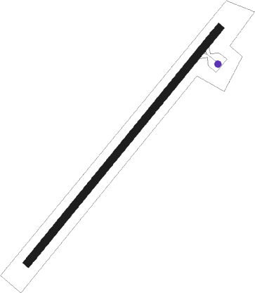
Runway info
| Runway 04 / 22 | ||
| length | 1197m (3927ft) | |
| bearing | 44° / 224° | |
| width | 30m (98ft) | |
| surface | concrete | |
Nearby beacons
| code | identifier | dist | bearing | frequency |
|---|---|---|---|---|
| DGT | DUMAGUETE VOR | 12.2 | 307° | 114.10 |
| BHL | PANGLAO VOR/DME | 27.9 | 39° | 116.20 |
| DI | DIPOLOG NDB | 37.3 | 192° | 389 |
| LGD | LAGUINDINGAN VOR/DME | 68.3 | 121° | 116.10 |
Disclaimer
The information on this website is not for real aviation. Use this data with the X-Plane flight simulator only! Data taken with kind consent from X-Plane 12 source code and data files. Content is subject to change without notice.