Kalispell - Kalispell City
Airport details
| Country | United States of America |
| State | Montana |
| Region | K1 |
| Airspace | Salt Lake City Ctr |
| Municipality | Kalispell |
| Elevation | 2932ft (894m) |
| Timezone | GMT -7 |
| Coordinates | 48.17857, -114.30374 |
| Magnetic var | |
| Type | land |
| Available since | X-Plane v10.40 |
| ICAO code | S27 |
| IATA code | n/a |
| FAA code | n/a |
Communication
| Kalispell City ASOS (KGPI) | 132.625 |
| Kalispell City CTAF/UNICOM | 122.800 |
Nearby Points of Interest:
Woll House
-Courthouse Historic District
-A. J. Dean House
-Snyder House
-Kalispell Main Street Historic District
-Scandinavian Methodist Church
-Fisher House
-Bader-Jaquette and Westwang Houses and Rental Property
-Bruyer Granary
-Soldiers' Home Historic District
-Lockridge Medical Clinic
-Dayton State Bank
-Big Arm School
-Headquarters Historic District
-West Entrance Station
-North Fork Road
-Nyack Ranger Station Historic District
-Fish Creek Bay Boathouse
-Huckleberry Fire Lookout
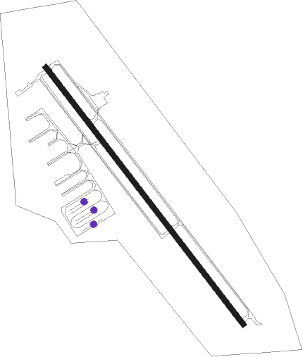
Runway info
| Runway 13 / 31 | ||
| length | 1099m (3606ft) | |
| bearing | 136° / 316° | |
| width | 18m (60ft) | |
| surface | asphalt | |
| displ threshold | 0m (0ft) / 47m (154ft) | |
Nearby beacons
| code | identifier | dist | bearing | frequency |
|---|---|---|---|---|
| FCA | KALISPELL VOR/DME | 5.5 | 74° | 113.20 |
| SAK | SMITH LAKE (KALISPELL) NDB | 7.5 | 246° | 515 |
Disclaimer
The information on this website is not for real aviation. Use this data with the X-Plane flight simulator only! Data taken with kind consent from X-Plane 12 source code and data files. Content is subject to change without notice.