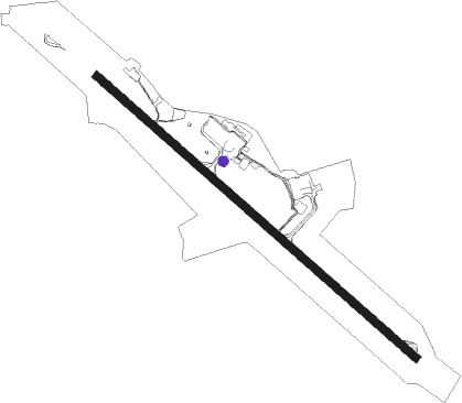
Caxias Do Sul - Hugo Cantergiani
Airport details
| Country | Brazil |
| State | Rio Grande do Sul |
| Region | SB |
| Airspace | Curitiba Ctr |
| Municipality | Caxias do Sul |
| Elevation | 2472ft (753m) |
| Timezone | GMT -3 |
| Coordinates | -29.19555, -51.18972 |
| Magnetic var | |
| Type | land |
| Available since | X-Plane v10.40 |
| ICAO code | SBCX |
| IATA code | CXJ |
| FAA code | n/a |
Communication
| Hugo Cantergiani CAXIAS RDO | 131.600 |
Nearby beacons
| code | identifier | dist | bearing | frequency |
|---|---|---|---|---|
| CXS | DO SUL VOR/DME | 0.1 | 156° | 112.30 |
| TQA | DME | 35.5 | 139° | 112.90 |
| COA | CANOAS (PORTO ALEGRE) VOR/DME | 45.3 | 177° | 113.60 |
| POR | PORTO ALEGRE VOR/DME | 48 | 178° | 114 |
| PAG | PORTO ALEGRE NDB | 48.2 | 179° | 330 |
| TQI | DME | 48.9 | 227° | 114.50 |
| FIG | FIGUEIRAS (PORTO ALEGRE) VOR/DME | 49.4 | 165° | 114.70 |
Departure and arrival routes
| Transition altitude | 6000ft |
| SID end points | distance | outbound heading | |
|---|---|---|---|
| RW15 | |||
| BURP1C | 40mi | 139° | |
| OMNI | 17mi | 195° | |
| BURP1B | 52mi | 293° | |
| RW33 | |||
| TIVT1D | 72mi | 18° | |
| VAGA1D | 126mi | 67° | |
| ESOM1D | 40mi | 139° | |
| OMNI | 17mi | 195° | |
| ESOM1B | 52mi | 293° | |
| STAR starting points | distance | inbound heading | |
|---|---|---|---|
| RW15 | |||
| VUKM1C | 52.1 | 241° | |
| RW33 | |||
| VUKM1D | 52.1 | 241° | |
Instrument approach procedures
| runway | airway (heading) | route (dist, bearing) |
|---|---|---|
| RW15-Y | CX207 (194°) | CX207 6000ft CX208 (6mi, 211°) 4500ft |
| RNAV | CX208 4500ft CX209 (5mi, 211°) 4160ft CX211 (3mi, 171°) 3158ft SBCX (2mi, 132°) 2522ft CX007 (16mi, 132°) 6000ft CX007 (turn) 6000ft | |
| RW15-Z | CX001 (158°) | CX001 6000ft CX004 (6mi, 209°) 4200ft |
| RW15-Z | CX002 (132°) | CX002 6000ft CX004 (5mi, 132°) 4200ft |
| RW15-Z | IRILU (109°) | IRILU 6000ft CX004 (6mi, 69°) 4200ft |
| RNAV | CX004 4200ft ESOMU (5mi, 132°) 4110ft CX005 (3mi, 132°) 3100ft SBCX (2mi, 132°) 2522ft (3413mi, 60°) 3500ft CX001 (3413mi, 241°) 6000ft CX001 (turn) 6000ft | |
| RW33-Y | CX201 (254°) | CX201 6000ft CX202 (6mi, 236°) 4500ft |
| RNAV | CX202 4500ft CX203 (5mi, 236°) 4290ft CX204 (3mi, 274°) 3137ft SBCX (3mi, 312°) 2501ft CX002 (15mi, 312°) 6000ft CX002 (turn) 6000ft | |
| RW33-Z | CX007 (312°) | CX007 6000ft CX012 (5mi, 312°) 5000ft |
| RW33-Z | CX011 (289°) | CX011 6000ft CX012 (6mi, 249°) 5000ft |
| RW33-Z | DOMPA (337°) | DOMPA 6000ft CX012 (6mi, 29°) 5000ft |
| RNAV | CX012 5000ft BURPI (5mi, 312°) 4090ft CX204 (3mi, 312°) 3100ft SBCX (3mi, 312°) 2501ft (3413mi, 60°) 4000ft CX011 (3403mi, 240°) 6000ft CX011 (turn) 6000ft |
Disclaimer
The information on this website is not for real aviation. Use this data with the X-Plane flight simulator only! Data taken with kind consent from X-Plane 12 source code and data files. Content is subject to change without notice.
