Curico - General Freire
Airport details
| Country | Chile |
| State | Maule Region |
| Region | SC |
| Airspace | Santiago Ctr |
| Municipality | Curicó |
| Elevation | 722ft (220m) |
| Timezone | GMT -4 |
| Coordinates | -34.96667, -71.21639 |
| Magnetic var | |
| Type | land |
| Available since | X-Plane v10.40 |
| ICAO code | SCIC |
| IATA code | n/a |
| FAA code | n/a |
Communication
| General Freire INFO | 126.700 |
Nearby Points of Interest:
Plaza de Armas
-Estación Chimbarongo
-Aduana de Los Queñes
-Cárcel de San Fernando
-Santuario de la Naturaleza Alto Huemul
-Estación Colchagua
-Peralillo Primary School
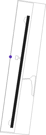
Runway info
| Runway 01 / 19 | ||
| length | 831m (2726ft) | |
| bearing | 16° / 196° | |
| width | 18m (59ft) | |
| surface | asphalt | |
| blast zone | 32m (105ft) / 0m (0ft) | |
Nearby beacons
| code | identifier | dist | bearing | frequency |
|---|---|---|---|---|
| ICO | CURICO VOR/DME | 0 | 153° | 114.70 |
Disclaimer
The information on this website is not for real aviation. Use this data with the X-Plane flight simulator only! Data taken with kind consent from X-Plane 12 source code and data files. Content is subject to change without notice.