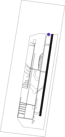
Santiago - Eulogio Sánchez
Airport details
| Country | Chile |
| State | Santiago Metropolitan Region |
| Region | SC |
| Airspace | Santiago Ctr |
| Municipality | Provincia de Santiago |
| Elevation | 2126ft (648m) |
| Timezone | GMT -4 |
| Coordinates | -33.46194, -70.54896 |
| Magnetic var | |
| Type | land |
| Available since | X-Plane v10.40 |
| ICAO code | SCTB |
| IATA code | n/a |
| FAA code | n/a |
Communication
| Eulogio Sánchez Ground Control | 121.600 |
| Eulogio Sánchez Tower | 118.700 |
Nearby beacons
| code | identifier | dist | bearing | frequency |
|---|---|---|---|---|
| BQE | EL BOSQUE VOR/DME | 9.3 | 234° | 117.50 |
| AMB | SANTIAGO VOR/DME | 12 | 280° | 116.10 |
| PDH | PUDAHUEL (SANTIAGO) VOR/DME | 12.9 | 281° | 117.20 |
| TBN | TABON VOR/DME | 35.7 | 332° | 113.90 |
| VDM | VINA DEL MAR VOR/DME | 55.8 | 299° | 114.90 |
| SAL | SALINAS NDB | 57.2 | 296° | 390 |
| VTN | VENTANAS VOR/DME | 64.4 | 307° | 113.30 |
Departure and arrival routes
| Transition altitude | 5000ft |
| SID end points | distance | outbound heading | |
|---|---|---|---|
| RW19 | |||
| PARKE7, TOLAR3 | 12mi | 280° | |
Disclaimer
The information on this website is not for real aviation. Use this data with the X-Plane flight simulator only! Data taken with kind consent from X-Plane 12 source code and data files. Content is subject to change without notice.
