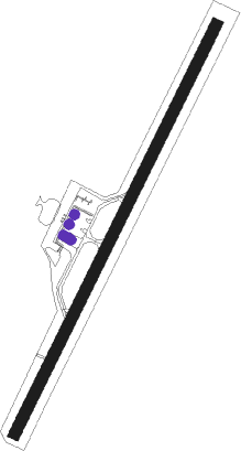
Barrancabermeja - Yariguies
Airport details
| Country | Colombia |
| State | Santander |
| Region | SK |
| Airspace | Bogota Ctr |
| Municipality | Barrancabermeja |
| Elevation | 412ft (126m) |
| Timezone | GMT -5 |
| Coordinates | 7.02547, -73.80802 |
| Magnetic var | |
| Type | land |
| Available since | X-Plane v10.40 |
| ICAO code | SKEJ |
| IATA code | EJA |
| FAA code | n/a |
Communication
| Yariguies ATIS | 127.725 |
| Yariguies Tower | 118.450 |
| Yariguies BUCARAMANGA Approach | 119.000 |
Runway info
| Runway 04 / 22 | ||
| length | 1808m (5932ft) | |
| bearing | 31° / 211° | |
| width | 45m (148ft) | |
| surface | asphalt | |
Nearby beacons
| code | identifier | dist | bearing | frequency |
|---|---|---|---|---|
| EJA | BARRANCABERMEJA VOR/DME | 0.2 | 38° | 115.90 |
| PIE | PIEDECUESTA VOR/DME | 43.5 | 101° | 116.80 |
| OTU | OTU VOR/DME | 53.7 | 270° | 115.40 |
Departure and arrival routes
| Transition altitude | 18000ft |
| Transition level | 19000ft |
| SID end points | distance | outbound heading | |
|---|---|---|---|
| RW04 | |||
| AKSO1A | 34mi | 190° | |
| RW22 | |||
| AKSO1B | 34mi | 190° | |
| STAR starting points | distance | inbound heading | |
|---|---|---|---|
| RW04 | |||
| POXO1G | 17.7 | 260° | |
| UMKA1D | 19.3 | 281° | |
| LOUR1A, LOUR1B, LOUR1C | 20.7 | 345° | |
Instrument approach procedures
| runway | airway (heading) | route (dist, bearing) |
|---|---|---|
| RW04 | NELUT (5°) | NELUT 5000ft INCAS (6mi, 315°) 3600ft |
| RNAV | INCAS 3600ft ISMEG (5mi, 31°) 2030ft SKEJ (6mi, 30°) 444ft NIBLU (10mi, 32°) 3000ft NIBLU (turn) 7000ft |
Disclaimer
The information on this website is not for real aviation. Use this data with the X-Plane flight simulator only! Data taken with kind consent from X-Plane 12 source code and data files. Content is subject to change without notice.