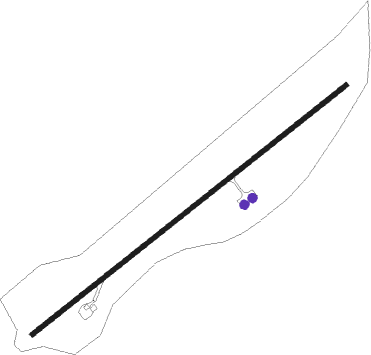
Potosí - Captain Nicolas Rojas
Airport details
| Country | Bolivia |
| State | Potosí |
| Region | SL |
| Airspace | La Paz Ctr |
| Elevation | 12913ft (3936m) |
| Timezone | GMT -4 |
| Coordinates | -19.54222, -65.72334 |
| Magnetic var | |
| Type | land |
| Available since | X-Plane v10.40 |
| ICAO code | SLPO |
| IATA code | POI |
| FAA code | n/a |
Communication
| Captain Nicolas Rojas POTOSI Tower | 118.300 |
Nearby beacons
| code | identifier | dist | bearing | frequency |
|---|---|---|---|---|
| PTS | POTOSI VOR/DME | 2 | 59° | 114.90 |
| ALC | ALCANTARI VOR/DME | 36.7 | 65° | 113.40 |
| SUR | SUCRE VOR/DME | 40.1 | 39° | 116.50 |
Instrument approach procedures
| runway | airway (heading) | route (dist, bearing) |
|---|---|---|
| RW24-Y | PO641 (256°) | PO641 17000ft PO643 (6mi, 266°) 15000ft |
| RNAV | PO643 15000ft PO645 (6mi, 266°) 15000ft SLPO (7mi, 238°) 12828ft PO633 (6mi, 238°) 15300ft PO632 (20mi, 188°) 17000ft PO632 (turn) 17000ft | |
| RW24-Z | PO637 (264°) | PO637 18300ft PO636 (7mi, 305°) 16400ft |
| RW24-Z | PO638 (211°) | PO638 18000ft PO636 (7mi, 166°) 16400ft |
| RW24-Z | PO639 (238°) | PO639 18000ft PO636 (7mi, 238°) 16400ft |
| RNAV | PO636 16400ft PO635 (5mi, 238°) 14600ft SLPO (6mi, 238°) 12828ft PO633 (6mi, 238°) 15300ft PO632 (20mi, 188°) 17000ft PO632 (turn) 17000ft |
Disclaimer
The information on this website is not for real aviation. Use this data with the X-Plane flight simulator only! Data taken with kind consent from X-Plane 12 source code and data files. Content is subject to change without notice.
