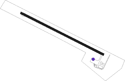
Pirenopolis
Airport details
| Country | Brazil |
| State | Goiás |
| Region | SB |
| Airspace | Brasilia Ctr |
| Municipality | Pirenópolis |
| Elevation | 2625ft (800m) |
| Timezone | GMT -3 |
| Coordinates | -15.84806, -48.98028 |
| Magnetic var | |
| Type | land |
| Available since | X-Plane v10.40 |
| ICAO code | SNMH |
| IATA code | n/a |
| FAA code | n/a |
Communication
Nearby Points of Interest:
House of the Babilónia Estate
Nearby beacons
| code | identifier | dist | bearing | frequency |
|---|---|---|---|---|
| APO | ANAPOLIS VOR/DME | 23.8 | 180° | 116.80 |
| GNV | GOIANIA VOR/DME | 49.4 | 196° | 115.90 |
| BSI | BRASILIA VOR/DME | 55.3 | 91° | 116.30 |
| SBG | SANTA BARBARA (ANAPOLIS) NDB | 60.4 | 224° | 230 |
Disclaimer
The information on this website is not for real aviation. Use this data with the X-Plane flight simulator only! Data taken with kind consent from X-Plane 12 source code and data files. Content is subject to change without notice.