Ouro Fino
Airport details
| Country | Brazil |
| State | Minas Gerais |
| Region | SB |
| Airspace | Brasilia Ctr |
| Municipality | Ouro Fino |
| Elevation | 2817ft (859m) |
| Timezone | GMT -3 |
| Coordinates | -22.29704, -46.39228 |
| Magnetic var | |
| Type | land |
| Available since | X-Plane v10.40 |
| ICAO code | SNOF |
| IATA code | n/a |
| FAA code | n/a |
Communication
| Ouro Fino RDO | 123.450 |
Nearby Points of Interest:
Casa onde residiu Arnaldo Florence
-Casa Irmãos Sagiorato Ltda
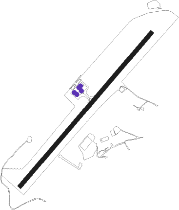
Runway info
| Runway 06 / 24 | ||
| length | 1056m (3465ft) | |
| bearing | 47° / 227° | |
| width | 23m (75ft) | |
| surface | asphalt | |
Nearby beacons
| code | identifier | dist | bearing | frequency |
|---|---|---|---|---|
| PCL | POCOS (POCOS DE CALDAS) NDB | 29.2 | 339° | 415 |
| BGC | BRAGANCA (BRAGANCA PAULIS VOR/DME | 40.5 | 195° | 116.20 |
| PSN | PIRASSUNUNGA NDB | 55.7 | 288° | 310 |
| PIR | PIRASSUNUNGA VOR/DME | 56.1 | 288° | 115.80 |
| CPN | CAMPINAS VOR/DME | 59.1 | 226° | 112 |
| IK | BENTO (CAMPINAS) NDB | 59.9 | 231° | 370 |
| SCP | SAO JOSE (SAO JOSE DOS CA VOR/DME | 63.4 | 150° | 115.40 |
| TAU | TAUBATE VOR/DME | 65.9 | 130° | 112.60 |
| TBE | TAUBATE NDB | 66.1 | 131° | 430 |
Disclaimer
The information on this website is not for real aviation. Use this data with the X-Plane flight simulator only! Data taken with kind consent from X-Plane 12 source code and data files. Content is subject to change without notice.