Blumenau
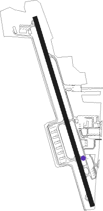
Airport details
| Country | Brazil |
| State | Santa Catarina |
| Region | SB |
| Airspace | Curitiba Ctr |
| Municipality | Blumenau |
| Elevation | 60ft (18m) |
| Timezone | GMT -3 |
| Coordinates | -26.83278, -49.09361 |
| Magnetic var | |
| Type | land |
| Available since | X-Plane v10.40 |
| ICAO code | SSBL |
| IATA code | BNU |
| FAA code | n/a |
Communication
| Blumenau UNICOM | 122.800 |
Nearby Points of Interest:
Serra do Mar
-Palácio Marcos Konder
-Casa Burghardt
Nearby beacons
| code | identifier | dist | bearing | frequency |
|---|---|---|---|---|
| JNV | JOINVILLE VOR/DME | 39.9 | 26° | 115.10 |
| BIG | DME | 53.4 | 150° | 113.70 |
| FLN | FLORIANOPOLIS VOR/DME | 58.3 | 147° | 113.40 |
Disclaimer
The information on this website is not for real aviation. Use this data with the X-Plane flight simulator only! Data taken with kind consent from X-Plane 12 source code and data files. Content is subject to change without notice.