Novo Horizonte Do Sul - Fazenda Vista Alegre
Airport details
| Country | Brazil |
| State | Minas Gerais |
| Region | SB |
| Airspace | Brasilia Ctr |
| Municipality | Igaratinga |
| Elevation | 2712ft (827m) |
| Timezone | GMT -3 |
| Coordinates | -20.07594, -44.72800 |
| Magnetic var | |
| Type | land |
| Available since | X-Plane v10.40 |
| ICAO code | SSDK |
| IATA code | n/a |
| FAA code | n/a |
Communication
| Fazenda Vista Alegre UNICOM | 123.450 |
Nearby Points of Interest:
house of Doctor Augusto Gonçalves de Souza Moreira
-Father Belchior's House
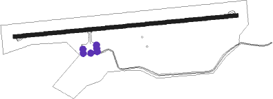
Runway info
| Runway 11 / 29 | ||
| length | 1301m (4268ft) | |
| bearing | 89° / 269° | |
| width | 23m (75ft) | |
| surface | asphalt | |
Nearby beacons
| code | identifier | dist | bearing | frequency |
|---|---|---|---|---|
| PMI | DE MINAS DME | 15.6 | 27° | 113.70 |
| BHZ | BELO HORIZONTE VOR/DME | 43.3 | 72° | 117.70 |
| CNF | CONFINS (BELO HORIZONTE) VOR/DME | 49.4 | 53° | 114.40 |
| LST | LAGOA SANTA NDB | 53.2 | 63° | 295 |
Disclaimer
The information on this website is not for real aviation. Use this data with the X-Plane flight simulator only! Data taken with kind consent from X-Plane 12 source code and data files. Content is subject to change without notice.