Castro
Airport details
| Country | Brazil |
| State | Paraná |
| Region | SB |
| Airspace | Curitiba Ctr |
| Municipality | Castro |
| Elevation | 3312ft (1009m) |
| Timezone | GMT -3 |
| Coordinates | -24.80750, -49.96028 |
| Magnetic var | |
| Type | land |
| Available since | X-Plane v10.40 |
| ICAO code | SSQT |
| IATA code | QAC |
| FAA code | n/a |
Communication
Nearby Points of Interest:
Biblioteca Municipal Faris Michaeli
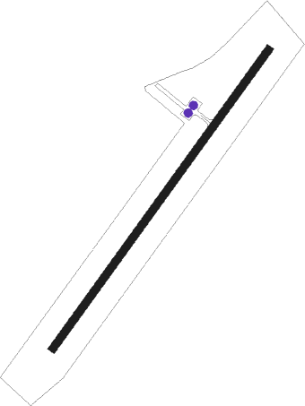
Runway info
| Runway 05 / 23 | ||
| length | 1421m (4662ft) | |
| bearing | 43° / 223° | |
| width | 30m (98ft) | |
| surface | asphalt | |
Nearby beacons
| code | identifier | dist | bearing | frequency |
|---|---|---|---|---|
| PGR | GROSSA NDB | 24.7 | 206° | 275 |
| TLB | TELAMACO (TELAMACO BORBA) NDB | 47.8 | 305° | 285 |
| BCH | BACACHERI NDB | 53.4 | 129° | 300 |
| LAA | DME | 59.2 | 169° | 117.70 |
| CTB | CURITIBA VOR/DME | 61.2 | 132° | 116.50 |
Disclaimer
The information on this website is not for real aviation. Use this data with the X-Plane flight simulator only! Data taken with kind consent from X-Plane 12 source code and data files. Content is subject to change without notice.