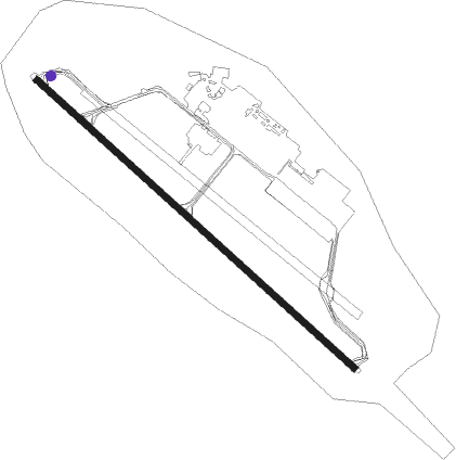
Tbilisi - Shota Rustaveli Tbilisi Intl
Airport details
| Country | Georgia |
| State | Tbilisi |
| Region | UG |
| Airspace | Tbilisi Ctr |
| Elevation | 1578ft (481m) |
| Timezone | GMT +4 |
| Coordinates | 41.67505, 44.95113 |
| Magnetic var | |
| Type | land |
| Available since | X-Plane v10.40 |
| ICAO code | UGTB |
| IATA code | TBS |
| FAA code | n/a |
Communication
| Shota Rustaveli Tbilisi Intl ATIS | 132.800 |
| Shota Rustaveli Tbilisi Intl Ground Control | 131.700 |
| Shota Rustaveli Tbilisi Intl Tower | 119.000 |
| Shota Rustaveli Tbilisi Intl Tower | 128.000 |
| Shota Rustaveli Tbilisi Intl ApproachR | 134.600 |
| Shota Rustaveli Tbilisi Intl Departure | 128.000 |
Approach frequencies
| ILS-cat-I | RW31L | 108.9 | 18.00mi |
| ILS-cat-I | RW13R | 110.3 | 18.00mi |
| 3.5° GS | RW13R | 110.3 | 18.00mi |
| 3° GS | RW31L | 108.9 | 18.00mi |
Nearby Points of Interest:
Jvaris Mama church, Tbilisi
-Georgian Parliament Building
-Historical Monuments of Mtskheta
-Machkhani Church
-Tserovani
-Gudarekhi monastery
-Ikalto monastery
-Tsughrughasheni Church
-Tserakvi
-Aghaiani church of Saint Nino
-Kazreti monastery
-Pavnisi
Nearby beacons
| code | identifier | dist | bearing | frequency |
|---|---|---|---|---|
| TBS | TBILISI VOR/DME | 0.3 | 223° | 113.70 |
| DF | MUKHRANI NDB | 22.5 | 302° | 520 |
| GUD | DME | 53 | 331° | 110.80 |
Departure and arrival routes
| Transition altitude | 7600ft |
| SID end points | distance | outbound heading | |
|---|---|---|---|
| RW13R | |||
| KUFA1E | 62mi | 78° | |
| DISK1E | 20mi | 122° | |
| TAVR1E | 35mi | 223° | |
| PALLE1 | 33mi | 262° | |
| LAPT1E | 67mi | 321° | |
| RW31L | |||
| KUFA1D | 62mi | 78° | |
| DISK1D | 20mi | 122° | |
| TAVR1D | 35mi | 223° | |
| ZAGOT1 | 37mi | 278° | |
| LAPT1D | 67mi | 321° | |
| STAR starting points | distance | inbound heading | |
|---|---|---|---|
| RW13R | |||
| TISO1B | 24.6 | 9° | |
| LAGA1B | 32.9 | 82° | |
| GIMU1B | 41.9 | 113° | |
| LAMU1B | 26.8 | 283° | |
| RW31L | |||
| TISO1A | 24.6 | 9° | |
| LAGA1A | 32.9 | 82° | |
| GIMU1A | 41.9 | 113° | |
| LAMU1A | 26.8 | 283° | |
Holding patterns
| STAR name | hold at | type | turn | heading* | altitude | leg | speed limit |
|---|---|---|---|---|---|---|---|
| GIMU1A | BAZIK | VHF | left | 220 (40)° | 5500ft - 9000ft | 1.0min timed | 220 |
| GIMU1A | GIMUR | VHF | right | 276 (96)° | 13000ft - 20000ft | 1.0min timed | 280 |
| GIMU1B | DANQI | VHF | right | 276 (96)° | 9000ft - 14000ft | 1.0min timed | 230 |
| GIMU1B | GIMUR | VHF | right | 276 (96)° | 13000ft - 20000ft | 1.0min timed | 280 |
| LAGA1A | BAZIK | VHF | left | 220 (40)° | 5500ft - 9000ft | 1.0min timed | 220 |
| LAGA1A | LAGAS | VHF | right | 238 (58)° | 14000ft - 20000ft | 1.0min timed | 280 |
| LAGA1B | DANQI | VHF | right | 276 (96)° | 9000ft - 14000ft | 1.0min timed | 230 |
| LAGA1B | LAGAS | VHF | right | 238 (58)° | 14000ft - 20000ft | 1.0min timed | 280 |
| LAMU1A | LAMUS | VHF | right | 78 (258)° | 9000ft - 20000ft | 1.0min timed | 280 |
| LAMU1B | LAMUS | VHF | right | 78 (258)° | 9000ft - 20000ft | 1.0min timed | 280 |
| TISO1A | BAZIK | VHF | left | 220 (40)° | 5500ft - 9000ft | 1.0min timed | 220 |
| *) magnetic outbound (inbound) holding course | |||||||
Disclaimer
The information on this website is not for real aviation. Use this data with the X-Plane flight simulator only! Data taken with kind consent from X-Plane 12 source code and data files. Content is subject to change without notice.