Moab - Sky Ranch
Airport details
| Country | United States of America |
| State | Utah |
| Region | |
| Airspace | Denver Ctr |
| Municipality | San Juan County |
| Elevation | 4875ft (1486m) |
| Timezone | GMT -7 |
| Coordinates | 38.49421, -109.45376 |
| Magnetic var | |
| Type | land |
| Available since | X-Plane v10.40 |
| ICAO code | UT53 |
| IATA code | n/a |
| FAA code | UT53 |
Communication
Nearby Points of Interest:
Slickrock Trail
-Star Hall
-Rock House-Custodian's Residence
-Wolfe Ranch
-Cave Springs Cowboy Camp
-Denis Julien Inscription
-Lost Canyon Cowboy Camp
-Dolores River Bridge
-Hanging Flume
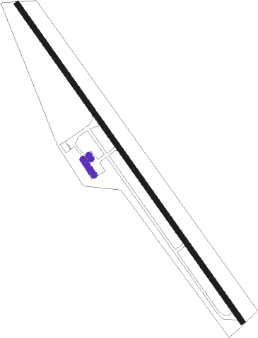
Runway info
| Runway 12 / 30 | ||
| length | 1612m (5289ft) | |
| bearing | 143° / 323° | |
| width | 21m (70ft) | |
| surface | asphalt | |
Nearby beacons
| code | identifier | dist | bearing | frequency |
|---|---|---|---|---|
| OAB | MOAB VOR/DME | 20.9 | 312° | 109.80 |
| JNC | GRAND JUNCTION VOR/DME | 45.9 | 49° | 112.40 |
| DVC | DOVE CREEK VORTAC | 47.9 | 143° | 114.60 |
| BDG | BLANDING NDB | 58.6 | 182° | 340 |
Disclaimer
The information on this website is not for real aviation. Use this data with the X-Plane flight simulator only! Data taken with kind consent from X-Plane 12 source code and data files. Content is subject to change without notice.