Kolhapur
Airport details
| Country | India |
| State | Maharashtra |
| Region | VA |
| Airspace | Mumbai Ctr |
| Municipality | Kolhapur |
| Elevation | 1996ft (608m) |
| Timezone | GMT +5.5 |
| Coordinates | 16.66528, 74.29139 |
| Magnetic var | |
| Type | land |
| Available since | X-Plane v10.40 |
| ICAO code | VAKP |
| IATA code | KLH |
| FAA code | n/a |
Communication
| Kolhapur Tower | 126.900 |
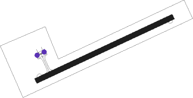
Runway info
| Runway 07 / 25 | ||
| length | 1369m (4491ft) | |
| bearing | 70° / 250° | |
| width | 46m (150ft) | |
| surface | asphalt | |
Nearby beacons
| code | identifier | dist | bearing | frequency |
|---|---|---|---|---|
| KP | KOLHAPUR NDB | 0.8 | 264° | 334 |
| BBM | BELAGAVI VOR/DME | 52 | 158° | 112.10 |
Disclaimer
The information on this website is not for real aviation. Use this data with the X-Plane flight simulator only! Data taken with kind consent from X-Plane 12 source code and data files. Content is subject to change without notice.