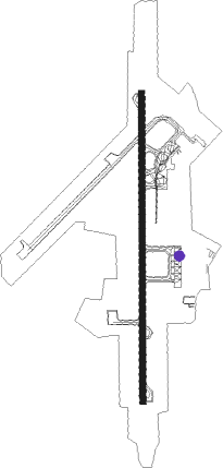
Agartala
Airport details
| Country | India |
| State | Tripura |
| Region | VE |
| Airspace | Guwahati Ctr |
| Municipality | Agartala |
| Elevation | 45ft (14m) |
| Timezone | GMT +5.5 |
| Coordinates | 23.89056, 91.23917 |
| Magnetic var | |
| Type | land |
| Available since | X-Plane v10.30 |
| ICAO code | VEAT |
| IATA code | IXA |
| FAA code | n/a |
Communication
| Agartala AIS | 128.800 |
| Agartala Tower | 118.050 |
| Agartala Tower | 120.400 |
Approach frequencies
| ILS-cat-I | RW18 | 110.3 | 18.00mi |
| 3° GS | RW18 | 110.3 | 18.00mi |
Nearby Points of Interest:
Mainamati
Nearby beacons
| code | identifier | dist | bearing | frequency |
|---|---|---|---|---|
| AAT | AGARTALA VOR/DME | 0 | 254° | 116.10 |
| AT | AGARTALA NDB | 0.2 | 125° | 237 |
| CML | CUMILLA VOR/DME | 27.5 | 186° | 115.50 |
| DCN | DHAKA NDB | 45.2 | 267° | 298 |
| DAC | DHAKA VOR/DME | 45.5 | 265° | 112.70 |
| DC | TEJGAON NDB | 47.2 | 263° | 252 |
| DA | HAZRAT SHAHJALAL INTL (DHAKA) NDB | 50.1 | 273° | 375 |
Disclaimer
The information on this website is not for real aviation. Use this data with the X-Plane flight simulator only! Data taken with kind consent from X-Plane 12 source code and data files. Content is subject to change without notice.