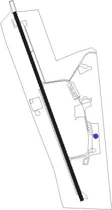
Dhaka - Tejgaon
Airport details
| Country | Bangladesh |
| State | Dhaka Division |
| Region | VG |
| Airspace | Dhaka Ctr |
| Municipality | Dhaka |
| Elevation | 22ft (7m) |
| Timezone | GMT +6 |
| Coordinates | 23.77839, 90.38717 |
| Magnetic var | |
| Type | land |
| Available since | X-Plane v10.40 |
| ICAO code | VGTJ |
| IATA code | n/a |
| FAA code | n/a |
Communication
| TEJGAON Tower | 123.000 |
| TEJGAON Tower | 122.900 |
Nearby beacons
| code | identifier | dist | bearing | frequency |
|---|---|---|---|---|
| DC | TEJGAON NDB | 0.3 | 359° | 252 |
| DAC | DHAKA VOR/DME | 3 | 29° | 112.70 |
| DCN | DHAKA NDB | 4.2 | 25° | 298 |
| DA | HAZRAT SHAHJALAL INTL (DHAKA) NDB | 9.8 | 339° | 375 |
| AAT | AGARTALA VOR/DME | 47.2 | 83° | 116.10 |
| AT | AGARTALA NDB | 47.4 | 83° | 237 |
| CML | CUMILLA VOR/DME | 48.8 | 113° | 115.50 |
| BL | BARISHAL NDB | 59 | 185° | 368 |
Disclaimer
The information on this website is not for real aviation. Use this data with the X-Plane flight simulator only! Data taken with kind consent from X-Plane 12 source code and data files. Content is subject to change without notice.