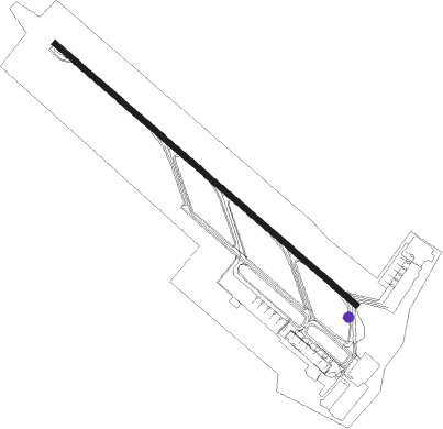
Vientiane - Vientiane Wattay
Airport details
| Country | Laos |
| State | Vientiane Prefecture |
| Region | VL |
| Airspace | Vientiane Ctr |
| Municipality | Vientiane Capital |
| Elevation | 550ft (168m) |
| Timezone | GMT +7 |
| Coordinates | 17.97254, 102.57183 |
| Magnetic var | |
| Type | land |
| Available since | X-Plane v10.40 |
| ICAO code | VLVT |
| IATA code | VTE |
| FAA code | n/a |
Communication
| Vientiane Wattay Tower | 118.100 |
Approach frequencies
| ILS-cat-I | RW13 | 109.9 | 18.00mi |
| 3° GS | RW13 | 109.9 | 18.00mi |
Nearby Points of Interest:
Wat Si Khun Mueang
-Phu Phra Bat Historical Park
Nearby beacons
| code | identifier | dist | bearing | frequency |
|---|---|---|---|---|
| VTN | VIENTIANE VOR/DME | 2.8 | 320° | 117.50 |
| VTG | THANGONE NDB | 10.4 | 21° | 405 |
| UD | UDON THANI NDB | 36.8 | 161° | 236 |
| UDN | UDON THANI VOR/DME | 37.1 | 161° | 114.30 |
| LY | LOEI NDB | 57.6 | 238° | 325 |
| LOY | LOEI VOR/DME | 57.9 | 238° | 115.90 |
Departure and arrival routes
| Transition altitude | 11000ft |
| Transition level | 13000ft |
| SID end points | distance | outbound heading | |
|---|---|---|---|
| RW13 | |||
| NET1B | 105mi | 36° | |
| ALA1B | 55mi | 53° | |
| CHU1B | 87mi | 204° | |
| BOK1B | 86mi | 295° | |
| PRA1B, TAG1B | 119mi | 348° | |
| RW31 | |||
| JAMP1A | 52mi | 22° | |
| NET1A, VALE1A | 105mi | 36° | |
| ALPH1C, ALA1A | 55mi | 53° | |
| CHU1A | 87mi | 204° | |
| BOK1A | 86mi | 295° | |
| NAMO1A, PRA1A, TAG1A | 119mi | 348° | |
| KASI1A | 69mi | 350° | |
| STAR starting points | distance | inbound heading | |
|---|---|---|---|
| RW13 | |||
| NAMO1A | 118.6 | 168° | |
| KASI1A | 68.5 | 170° | |
| JAMP1A | 51.6 | 202° | |
| VALE1A | 105.4 | 216° | |
| ALPH1A | 55.1 | 233° | |
Instrument approach procedures
| runway | airway (heading) | route (dist, bearing) |
|---|---|---|
| RW13 | MAALI (113°) | MAALI 4000ft NASON (6mi, 46°) 4000ft |
| RNAV | NASON 4000ft DANSI (7mi, 134°) 2600ft VLVT (8mi, 136°) 621ft NASON (15mi, 315°) 4000ft NASON (turn) |
Disclaimer
The information on this website is not for real aviation. Use this data with the X-Plane flight simulator only! Data taken with kind consent from X-Plane 12 source code and data files. Content is subject to change without notice.