Pokhara
Airport details
| Country | Nepal |
| State | Gandaki |
| Region | VN |
| Airspace | Kathmandu Ctr |
| Municipality | Pokhara |
| Elevation | 2710ft (826m) |
| Timezone | GMT +5.75 |
| Coordinates | 28.20000, 83.98167 |
| Magnetic var | |
| Type | land |
| Available since | X-Plane v10.40 |
| ICAO code | VNPK |
| IATA code | PKR |
| FAA code | n/a |
Communication
| Pokhara Tower | 122.700 |
| Pokhara Tower | 123.800 |
Nearby Points of Interest:
Tansen
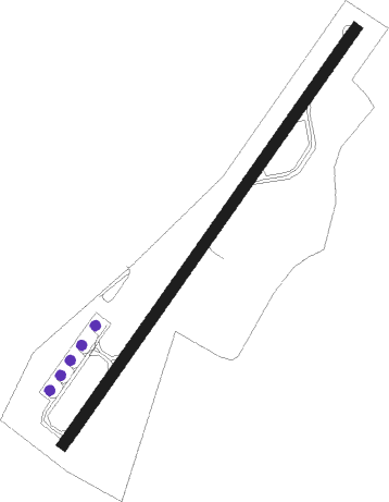
Runway info
| Runway 04 / 22 | ||
| length | 1453m (4767ft) | |
| bearing | 43° / 223° | |
| width | 30m (100ft) | |
| surface | asphalt | |
| displ threshold | 5m (16ft) / 107m (351ft) | |
Nearby beacons
| code | identifier | dist | bearing | frequency |
|---|---|---|---|---|
| PKR | DME | 0.1 | 75° | 112.80 |
| BHP | BHARATPUR NDB | 39.2 | 139° | 295 |
| BWA | BHAIRAHAWA VOR/DME | 50.9 | 218° | 114.70 |
Disclaimer
The information on this website is not for real aviation. Use this data with the X-Plane flight simulator only! Data taken with kind consent from X-Plane 12 source code and data files. Content is subject to change without notice.