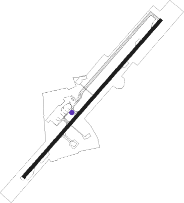
Coimbatore
Airport details
| Country | India |
| State | Tamil Nadu |
| Region | VO |
| Airspace | Chennai Ctr |
| Municipality | Coimbatore |
| Elevation | 1324ft (404m) |
| Timezone | GMT +5.5 |
| Coordinates | 11.02694, 77.04166 |
| Magnetic var | |
| Type | land |
| Available since | X-Plane v10.40 |
| ICAO code | VOCB |
| IATA code | CJB |
| FAA code | n/a |
Communication
| Coimbatore Tower | 122.300 |
| Coimbatore Approach | 122.300 |
Approach frequencies
| ILS-cat-I | RW23 | 109.1 | 18.00mi |
| 3° GS | RW23 | 109.1 | 18.00mi |
Nearby Points of Interest:
Nilgiri Mountain Railway
-Jain temple, Mettupudur
Nearby beacons
| code | identifier | dist | bearing | frequency |
|---|---|---|---|---|
| CB | COIMBATORE NDB | 0.1 | 113° | 354 |
| CCB | COIMBATORE VOR/DME | 0.5 | 45° | 112.90 |
| CIB | COCHIN VOR/DME | 58.6 | 202° | 117.30 |
| CI | COCHIN INTL NDB | 62 | 213° | 217 |
| CIA | COCHIN VOR/DME | 65.8 | 217° | 113.50 |
Departure and arrival routes
| Transition altitude | 11000ft |
| SID end points | distance | outbound heading | |
|---|---|---|---|
| RW05 | |||
| MISAT2 | 95mi | 139° | |
| LEDAT2 | 67mi | 182° | |
| KERDA2 | 66mi | 217° | |
| RW23 | |||
| MISAT1 | 95mi | 139° | |
| LEDAT1 | 67mi | 182° | |
| KERDA1 | 66mi | 217° | |
Disclaimer
The information on this website is not for real aviation. Use this data with the X-Plane flight simulator only! Data taken with kind consent from X-Plane 12 source code and data files. Content is subject to change without notice.