Sulur
Airport details
| Country | India |
| State | Tamil Nadu |
| Region | VO |
| Airspace | Chennai Ctr |
| Municipality | Sulur |
| Elevation | 1250ft (381m) |
| Timezone | GMT +5.5 |
| Coordinates | 11.01249, 77.16344 |
| Magnetic var | |
| Type | land |
| Available since | X-Plane v10.40 |
| ICAO code | VOSX |
| IATA code | n/a |
| FAA code | n/a |
Communication
Nearby Points of Interest:
Jain temple, Mettupudur
-Nilgiri Mountain Railway
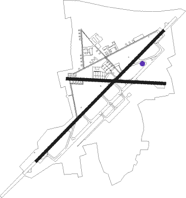
Runway info
Runway 05 / 23  | ||
| length | 2960m (9711ft) | |
| bearing | 49° / 229° | |
| width | 45m (148ft) | |
| surface | asphalt | |
| Runway 10 / 28 | ||
| length | 1583m (5194ft) | |
| bearing | 97° / 277° | |
| width | 46m (150ft) | |
| surface | concrete | |
Nearby beacons
| code | identifier | dist | bearing | frequency |
|---|---|---|---|---|
| CCB | COIMBATORE VOR/DME | 6.9 | 280° | 112.90 |
| CB | COIMBATORE NDB | 7 | 276° | 354 |
| CIB | COCHIN VOR/DME | 60.8 | 208° | 117.30 |
| CI | COCHIN INTL NDB | 65.4 | 218° | 217 |
| CIA | COCHIN VOR/DME | 69.7 | 223° | 113.50 |
| SL | SALEM NDB | 70.2 | 49° | 241 |
Disclaimer
The information on this website is not for real aviation. Use this data with the X-Plane flight simulator only! Data taken with kind consent from X-Plane 12 source code and data files. Content is subject to change without notice.