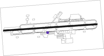
Yelahanka - Yelahanka Air Force Station
Airport details
| Country | India |
| State | Karnataka |
| Region | VO |
| Airspace | Chennai Ctr |
| Municipality | Bangalore North |
| Elevation | 3041ft (927m) |
| Timezone | GMT +5.5 |
| Coordinates | 13.14015, 77.59805 |
| Magnetic var | |
| Type | land |
| Available since | X-Plane v10.40 |
| ICAO code | VOYK |
| IATA code | YLK |
| FAA code | n/a |
Communication
| Yelahanka Air Force Station Tower | 123.500 |
| Yelahanka Air Force Station Tower | 118.100 |
| Yelahanka Air Force Station BANGALORE Approach | 122.700 |
Nearby beacons
| code | identifier | dist | bearing | frequency |
|---|---|---|---|---|
| BIA | BENGALURU VOR/DME | 8.8 | 64° | 116.80 |
| BBG | BENGALURU VOR/DME | 12.4 | 156° | 115.50 |
| BIB | BENGALURU VOR/DME | 24.2 | 51° | 114.50 |
Disclaimer
The information on this website is not for real aviation. Use this data with the X-Plane flight simulator only! Data taken with kind consent from X-Plane 12 source code and data files. Content is subject to change without notice.