Haa Dhaalu Atoll - Hanimaadhoo
Airport details
| Country | Maldives |
| State | Haa Dhaalu |
| Region | VR |
| Airspace | Male Ctr |
| Municipality | Kulhudhuffushi |
| Elevation | 2ft (1m) |
| Timezone | GMT +5 |
| Coordinates | 6.74820, 73.16984 |
| Magnetic var | |
| Type | land |
| Available since | X-Plane v10.40 |
| ICAO code | VRMH |
| IATA code | HAQ |
| FAA code | n/a |
Communication
| HANIMAADHOO Tower | 118.500 |
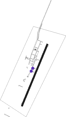
Runway info
| Runway 03 / 21 | ||
| length | 1221m (4006ft) | |
| bearing | 27° / 207° | |
| width | 30m (98ft) | |
| surface | asphalt | |
Instrument approach procedures
| runway | airway (heading) | route (dist, bearing) |
|---|---|---|
| RW03 | AKLUT (358°) | AKLUT MH405 (5mi, 297°) 1700ft |
| RW03 | ISTOV (56°) | ISTOV MH405 (5mi, 117°) 1700ft |
| RNAV | MH405 1700ft MH406 (4mi, 27°) 1700ft VRMH (6mi, 27°) 44ft (4402mi, 265°) 1000ft AKLUT (4402mi, 85°) AKLUT (turn) 3000ft | |
| RW21 | DOSNI (178°) | DOSNI MH403 (5mi, 117°) 1700ft |
| RW21 | VIREM (237°) | VIREM MH403 (5mi, 297°) 1700ft |
| RNAV | MH403 1700ft MH404 (4mi, 207°) 1700ft VRMH (6mi, 208°) 44ft (4402mi, 265°) 1000ft VIREM (4410mi, 85°) VIREM (turn) 3000ft |
Disclaimer
The information on this website is not for real aviation. Use this data with the X-Plane flight simulator only! Data taken with kind consent from X-Plane 12 source code and data files. Content is subject to change without notice.