Thimarafushi
Airport details
| Country | Maldives |
| State | Kolhumadulu |
| Region | VR |
| Airspace | Male Ctr |
| Elevation | 4ft (1m) |
| Timezone | GMT +5 |
| Coordinates | 2.21079, 73.15303 |
| Magnetic var | |
| Type | land |
| Available since | X-Plane v10.40 |
| ICAO code | VRNT |
| IATA code | TMF |
| FAA code | n/a |
Communication
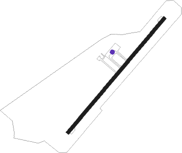
Runway info
| Runway 04 / 22 | ||
| length | 1205m (3953ft) | |
| bearing | 45° / 225° | |
| width | 30m (98ft) | |
| surface | asphalt | |
Nearby beacons
| code | identifier | dist | bearing | frequency |
|---|---|---|---|---|
| KD | KADHDHOO NDB | 30.7 | 134° | 260 |
Disclaimer
The information on this website is not for real aviation. Use this data with the X-Plane flight simulator only! Data taken with kind consent from X-Plane 12 source code and data files. Content is subject to change without notice.