Prachuap Khiri Khan - Prachuap Khiri Khan Rtaf
Airport details
| Country | Thailand |
| State | Prachuap Khiri Khan Province |
| Region | VT |
| Airspace | Bangkok Ctr |
| Elevation | 8ft (2m) |
| Timezone | GMT +7 |
| Coordinates | 11.78585, 99.80572 |
| Magnetic var | |
| Type | land |
| Available since | X-Plane v10.40 |
| ICAO code | VTBP |
| IATA code | n/a |
| FAA code | n/a |
Communication
| Prachuap Khiri Khan RTAF Ground Control | 121.750 |
| Prachuap Khiri Khan RTAF Tower | 135.900 |
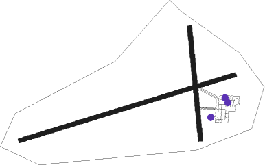
Nearby Points of Interest:
Phra Thinang Khuha Kharuehat

Nearby beacons
| code | identifier | dist | bearing | frequency |
|---|---|---|---|---|
| PCK | PRACHUAP KHIRI KHAN NDB | 0.4 | 315° | 320 |
| PCK | PRACHUAP KHIRI KHAN TACAN | 0.8 | 274° | 113.70 |
| HHN | HUA HIN VOR/DME | 51.6 | 10° | 113.30 |
| HN | HUA HIN NDB | 52.2 | 9° | 213 |
Disclaimer
The information on this website is not for real aviation. Use this data with the X-Plane flight simulator only! Data taken with kind consent from X-Plane 12 source code and data files. Content is subject to change without notice.