Bang Pra - Bang Phra
Airport details
| Country | Thailand |
| State | Chon Buri Province |
| Region | VT |
| Airspace | Bangkok Ctr |
| Municipality | Mueang |
| Elevation | 98ft (30m) |
| Timezone | GMT +7 |
| Coordinates | 13.23333, 100.95834 |
| Magnetic var | |
| Type | land |
| Available since | X-Plane v10.32 |
| ICAO code | VTBT |
| IATA code | n/a |
| FAA code | n/a |
Communication
| Bang Phra Approach | 122.300 |
Nearby Points of Interest:
Wat Bang Phra Worawihan
-Wat Tan Lom
-Wat Bang Peng
-Wat Yai Intharam
-Phra Chuthathut Palace
-Wat Nong Ket Yai
-Wat Khao Din
-Sa Si Liam
-Wat Bang Prong Thammachotikaram
-Wat Don Sai
-Wat Klang Worawihan
-Wat Sangkharacha
-Wat Bang Na Nai
-Wat Ban Khai
-Wat Chong Nonsi
-Wat Bang Phueng
-Wat Thong Bon
-Wat Khlong Toei Nai
-Wat Son
-Wat Chong Lom
-Wat Thep Lila
-Wat Sa Rot
-Wat Sai
-Wat Prasoet Sutthawat
-Wat Bang Khlo Nok
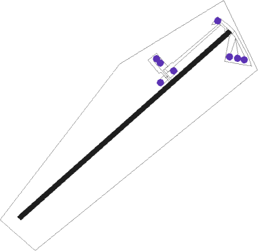
Runway info
| Runway 05 / 23 | ||
| length | 925m (3035ft) | |
| bearing | 54° / 234° | |
| width | 15m (49ft) | |
| surface | concrete | |
| displ threshold | 134m (440ft) / 90m (295ft) | |
Nearby beacons
| code | identifier | dist | bearing | frequency |
|---|---|---|---|---|
| SVB | SUVARNABHUMI (BANGKOK) VOR/DME | 28.7 | 332° | 111.40 |
| UT | U-TAPHAO INTL (RAYONG) NDB | 32 | 176° | 234 |
| BUT | U-TAPAO VOR/DME | 34.1 | 176° | 110.80 |
| UP | U-TAPHAO NDB | 34.3 | 176° | 414 |
| BKK | BANGKOK VOR/DME | 44.9 | 331° | 117.70 |
| RYN | RAYONG VOR/DME | 50.1 | 122° | 112.50 |
| PB | PRACHIN BURI NDB | 58.3 | 25° | 201 |
Disclaimer
The information on this website is not for real aviation. Use this data with the X-Plane flight simulator only! Data taken with kind consent from X-Plane 12 source code and data files. Content is subject to change without notice.