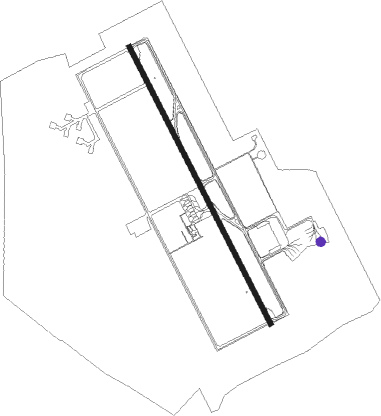
Namtu - Naypyitaw Intl
Airport details
| Country | Myanmar |
| State | Naypyitaw Union Territory |
| Region | VY |
| Airspace | Yangon Ctr |
| Municipality | Lewe Township |
| Elevation | 293ft (89m) |
| Timezone | GMT +6.5 |
| Coordinates | 19.62292, 96.20057 |
| Magnetic var | |
| Type | land |
| Available since | X-Plane v10.40 |
| ICAO code | VYNT |
| IATA code | NYT |
| FAA code | n/a |
Communication
| Naypyitaw Intl Ground Control | 121.900 |
| Naypyitaw Intl Tower | 118.700 |
| Naypyitaw Intl Approach | 134.500 |
| Naypyitaw Intl Approach | 119.700 |
Approach frequencies
| ILS-cat-I | RW16 | 110.1 | 18.00mi |
| 3° GS | RW16 | 110.1 | 18.00mi |
Nearby beacons
| code | identifier | dist | bearing | frequency |
|---|---|---|---|---|
| NPT | NAYPYITAW INTL VOR/DME | 0.3 | 306° | 113.70 |
| NT | NAYPYITAW INTL NDB | 0.5 | 3° | 390 |
| TGU | TAUNGOO VOR/DME | 35.8 | 161° | 115.10 |
| TGO | TAUNGOO NDB | 38.6 | 162° | 315 |
Instrument approach procedures
| runway | airway (heading) | route (dist, bearing) |
|---|---|---|
| RW16 | MINGO (138°) | MINGO 4000ft NT901 (5mi, 68°) 4000ft |
| RW16 | THIRI (156°) | THIRI 4000ft NT901 (5mi, 156°) 4000ft |
| RNAV | NT901 4000ft MUDRA (9mi, 156°) 2200ft VYNT (7mi, 156°) 345ft NT902 (4mi, 156°) NT903 (7mi, 291°) 2000ft MINGO (15mi, 336°) 4000ft MINGO (turn) 4000ft | |
| RW34 | WUNNA (1°) | WUNNA 3000ft NT913 (5mi, 68°) 3000ft |
| RW34 | ZIBYU (336°) | ZIBYU 5400ft NT913 (6mi, 336°) 3000ft |
| RNAV | NT913 3000ft HAYKO (5mi, 336°) 2000ft VYNT (6mi, 336°) 345ft NT914 (2mi, 337°) NT915 (10mi, 189°) WUNNA (5mi, 156°) 3000ft WUNNA (turn) 3000ft |
Disclaimer
The information on this website is not for real aviation. Use this data with the X-Plane flight simulator only! Data taken with kind consent from X-Plane 12 source code and data files. Content is subject to change without notice.