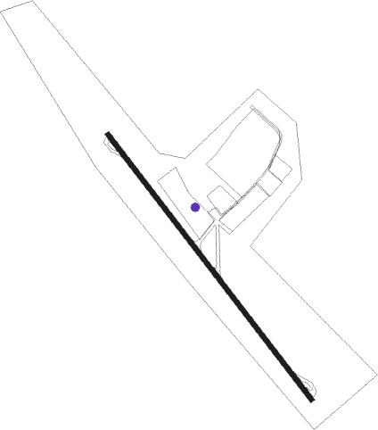
Baltimore - Essex Skypark
Airport details
| Country | United States of America |
| State | Maryland |
| Region | |
| Airspace | Washington Ctr |
| Municipality | Dundalk |
| Elevation | 15ft (5m) |
| Timezone | GMT -5 |
| Coordinates | 39.26482, -76.43414 |
| Magnetic var | |
| Type | land |
| Available since | X-Plane v10.40 |
| ICAO code | W48 |
| IATA code | W48 |
| FAA code | W48 |
Communication
| Essex Skypark CTAF/UNICOM | 122.700 |
Nearby Points of Interest:
Dundalk Historic District
-National Brewing Company
-Gunther Brewing Company
-Fort McHenry National Monument and Historic Shrine
-St. Elizabeth of Hungary
-East Monument Historic District
-Silo Point
-L. Grief and Bro., Inc. Manufactory
-Bankard-Gunther Mansion
-United States Coast Guard Yard
-St. Michael's Church Complex
-Public School No. 37
-Public School No. 25
-American Brewery
-Johns Hopkins Hospital
-Coca-Cola Baltimore Branch Factory
-Polish Home Hall
-Douglass Place
-Baltimore East/South Clifton Park Historic District
-Baltimore
-Maryland White Lead Works
-Hancock's Resolution
-South Central Avenue Historic District
-Bagby Furniture Company Building
-Public School No. 99

Nearby beacons
| code | identifier | dist | bearing | frequency |
|---|---|---|---|---|
| MTN | MARTIN (BALTIMORE) TACAN | 4.1 | 19° | 134.10 |
| BAL | BALTIMORE VORTAC | 11.9 | 248° | 115.10 |
| FND | ELLICOTT (BALTIMORE) NDB | 15.9 | 274° | 371 |
| BUH | ANNE ARUNDEL (FT MEADE) NDB | 18.6 | 241° | 260 |
| EMI | WESTMINSTER VORTAC | 28.8 | 293° | 117.90 |
| ADW | ANDREWS (CAMP SPRINGS) VORTAC | 34 | 223° | 113.10 |
| OTT | NOTTINGHAM VORTAC | 36.5 | 209° | 113.70 |
| DCA | WASHINGTON, D.C. VOR/DME | 37.1 | 236° | 111 |
| GTN | GEORGETOWN (WASH., D.C.) NDB | 37.9 | 244° | 323 |
| DCA | OXONN (WASHINGTON) NDB | 40.7 | 230° | 332 |
| IL | HADIN (WILMINGTON) NDB | 42.5 | 69° | 248 |
| ENO | SMYRNA (KENTON) VORTAC | 42.7 | 92° | 111.40 |
| FDK | FREDERICK VOR | 44.5 | 279° | 109 |
| DOV | DOVER TACAN | 45.6 | 98° | 110 |
| DQO | DUPONT (WILMINGTON) VORTAC | 45.6 | 63° | 114 |
| DAA | DAVEE (FT BELVOIR) NDB | 48 | 228° | 223 |
| LRP | LANCASTER VOR/DME | 51.7 | 9° | 117.30 |
| MXE | MODENA VORTAC | 52.7 | 49° | 113.20 |
| PXT | PATUXENT (PATUXENT RIVER) VORTAC | 58.6 | 178° | 117.60 |
| NHK | PATUXENT NDB | 58.8 | 178° | 400 |
| NHK | NAS PATUXENT RIVER TACAN | 59 | 179° | 110.25 |
| CX | LATLE (HARRISBURG) NDB | 60.8 | 328° | 219 |
| MD | ENOLA (HARRISBURG) NDB | 62.7 | 335° | 204 |
| SBY | SALISBURY VORTAC | 70.1 | 135° | 111.20 |
| PTW | POTTSTOWN VORTAC | 70.2 | 42° | 116.50 |
| BRV | BROOKE VORTAC | 70.4 | 225° | 114.50 |
Disclaimer
The information on this website is not for real aviation. Use this data with the X-Plane flight simulator only! Data taken with kind consent from X-Plane 12 source code and data files. Content is subject to change without notice.