Pulau Tomia Island - Maranggo
Airport details
| Country | Indonesia |
| State | Southeast Sulawesi |
| Region | WA |
| Airspace | Ujung Pandang Ctr |
| Elevation | 166ft (51m) |
| Timezone | GMT +8 |
| Coordinates | -5.76619, 123.91943 |
| Magnetic var | |
| Type | land |
| Available since | X-Plane v10.40 |
| ICAO code | WA44 |
| IATA code | TQQ |
| FAA code | n/a |
Communication
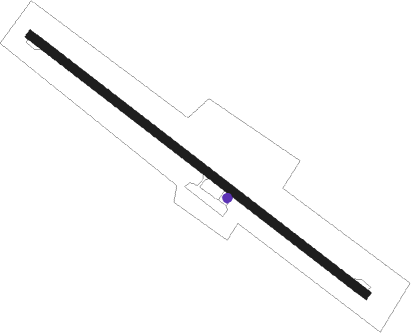
Runway info
| Runway 13 / 31 | ||
| length | 1503m (4931ft) | |
| bearing | 132° / 312° | |
| width | 30m (100ft) | |
| surface | asphalt | |
| blast zone | 10m (33ft) / 5m (16ft) | |
Nearby beacons
| code | identifier | dist | bearing | frequency |
|---|---|---|---|---|
| WI | WAKATOBI NDB | 32.9 | 329° | 318 |
Disclaimer
The information on this website is not for real aviation. Use this data with the X-Plane flight simulator only! Data taken with kind consent from X-Plane 12 source code and data files. Content is subject to change without notice.