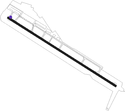
Jayapura-papua Island - Jayapura Sentani
Airport details
| Country | Indonesia |
| State | Papua |
| Region | WA |
| Airspace | Ujung Pandang Ctr |
| Municipality | Sentani |
| Elevation | 289ft (88m) |
| Timezone | GMT +9 |
| Coordinates | -2.57570, 140.51811 |
| Magnetic var | |
| Type | land |
| Available since | X-Plane v10.40 |
| ICAO code | WAJJ |
| IATA code | DJJ |
| FAA code | n/a |
Communication
| Jayapura Sentani ATIS | 126.250 |
| Jayapura Sentani ATIS | 128.800 |
| Jayapura Sentani Tower | 118.100 |
| Jayapura Sentani JAYAPURA Approach | 119.100 |
Approach frequencies
| ILS-cat-I | RW30 | 110.3 | 18.00mi |
| 3° GS | RW30 | 110.3 | 18.00mi |
Nearby beacons
| code | identifier | dist | bearing | frequency |
|---|---|---|---|---|
| JPA | JAYAPURA VOR/DME | 0.1 | 208° | 116.20 |
| VNO | VANIMO NDB | 47.5 | 97° | 257 |
Departure and arrival routes
| Transition altitude | 18000ft |
| Transition level | 18000ft |
| SID end points | distance | outbound heading | |
|---|---|---|---|
| RW12 | |||
| VANK1A | 30mi | 107° | |
| MELA1A | 101mi | 178° | |
| MALI1A | 100mi | 226° | |
| TIST1A | 100mi | 240° | |
| KUBI1A | 99mi | 287° | |
| STAR starting points | distance | inbound heading | |
|---|---|---|---|
| RW30 | |||
| MALI2B | 100.2 | 46° | |
| TIST2B | 99.9 | 60° | |
| KUBI2B | 99.4 | 107° | |
| VANK2B | 30.2 | 287° | |
| MELA2B | 101.3 | 358° | |
Instrument approach procedures
| runway | airway (heading) | route (dist, bearing) |
|---|---|---|
| RW30 | TOARE (307°) | TOARE 4000ft JJ405 (3mi, 307°) 2800ft |
| RNAV | JJ405 2800ft JJ406 (4mi, 307°) 2200ft JJ407 (3mi, 307°) 1380ft WAJJ (4mi, 308°) 318ft TOARE (14mi, 127°) 4000ft |
Holding patterns
| STAR name | hold at | type | turn | heading* | altitude | leg | speed limit |
|---|---|---|---|---|---|---|---|
| KUBI2B | TOARE | VHF | left | 123 (303)° | > 4000ft | 1.0min timed | ICAO rules |
| MALI2B | TOARE | VHF | left | 123 (303)° | > 4000ft | 1.0min timed | ICAO rules |
| MELA2B | TOARE | VHF | left | 123 (303)° | > 4000ft | 1.0min timed | ICAO rules |
| TIST2B | TOARE | VHF | left | 123 (303)° | > 4000ft | 1.0min timed | ICAO rules |
| VANK2B | TOARE | VHF | left | 123 (303)° | > 4000ft | 1.0min timed | ICAO rules |
| *) magnetic outbound (inbound) holding course | |||||||
Disclaimer
The information on this website is not for real aviation. Use this data with the X-Plane flight simulator only! Data taken with kind consent from X-Plane 12 source code and data files. Content is subject to change without notice.