Marawaka - Ande
Airport details
| Country | Papua New Guinea |
| State | Eastern Highlands |
| Region | |
| Airspace | Port Moresby Ctr |
| Municipality | Obura Wonenara District |
| Elevation | 5398ft (1645m) |
| Timezone | GMT +10 |
| Coordinates | -7.02100, 145.82201 |
| Magnetic var | |
| Type | land |
| ICAO code | XAY002P |
| IATA code | n/a |
| FAA code | n/a |
Communication
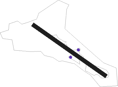
Runway info
| Runway 12 / 30 | ||
| length | 491m (1611ft) | |
| bearing | 129° / 309° | |
| width | 23m (75ft) | |
| surface | grass | |
Nearby beacons
| code | identifier | dist | bearing | frequency |
|---|---|---|---|---|
| NZ | NADZAB VOR/DME | 59.4 | 63° | 113.90 |
Disclaimer
The information on this website is not for real aviation. Use this data with the X-Plane flight simulator only! Data taken with kind consent from X-Plane 12 source code and data files. Content is subject to change without notice.