Dungannon
Airport details
| Country | Canada |
| State | Ontario |
| Region | CY |
| Airspace | Toronto Ctr |
| Municipality | Ashfield–Colborne–Wawanosh |
| Elevation | 870ft (265m) |
| Timezone | GMT -5 |
| Coordinates | 43.83639, -81.60667 |
| Magnetic var | |
| Type | land |
| Available since | X-Plane v10.40 |
| ICAO code | XC005J |
| IATA code | n/a |
| FAA code | n/a |
Communication
Nearby Points of Interest:
Goderich CNR station
-Goderich Branch, Huron County Library
-Goderich Train Station
-Madison House
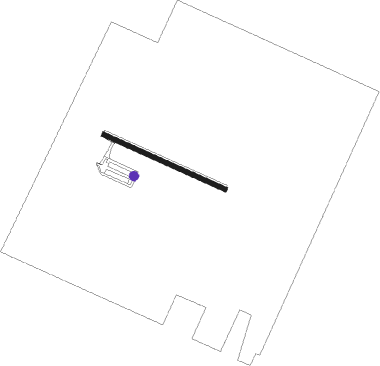
Runway info
| Runway 11 / 29 | ||
| length | 589m (1932ft) | |
| bearing | 112° / 292° | |
| width | 23m (75ft) | |
| surface | grass | |
Nearby beacons
| code | identifier | dist | bearing | frequency |
|---|---|---|---|---|
| D7 | KINCARDINE NDB | 22 | 1° | 350 |
| YXU | LONDON VOR/DME | 51.9 | 150° | 117.20 |
| YVV | WIARTON VOR/DME | 58.6 | 29° | 117.70 |
| PH | PHURN (PORT HURON) NDB | 73.6 | 225° | 332 |
Disclaimer
The information on this website is not for real aviation. Use this data with the X-Plane flight simulator only! Data taken with kind consent from X-Plane 12 source code and data files. Content is subject to change without notice.