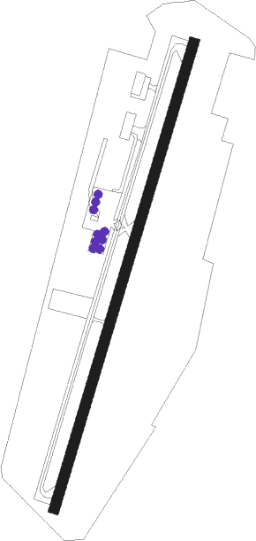
Oliver
Airport details
| Country | Canada |
| State | British Columbia |
| Region | CY |
| Airspace | Vancouver Ctr |
| Municipality | Oliver |
| Elevation | 1015ft (309m) |
| Timezone | GMT -8 |
| Coordinates | 49.17333, -119.55111 |
| Magnetic var | |
| Type | land |
| Available since | X-Plane v10.40 |
| ICAO code | XC0070 |
| IATA code | n/a |
| FAA code | n/a |
Communication
| Oliver CTAF | 122.800 |
Nearby beacons
| code | identifier | dist | bearing | frequency |
|---|---|---|---|---|
| ON | OKANAGAN (PENTICTON) NDB | 10.1 | 354° | 356 |
| YYF | PENTICTON NDB | 18.9 | 351° | 290 |
| UNT | NARAMATA (PENTICTON) NDB | 25.5 | 353° | 312 |
| YDC | PRINCETON VOR/DME | 34.5 | 284° | 113.90 |
| YWB | WESTBANK (KELOWNA) NDB | 38.3 | 353° | 389 |
| DC | PRINCETON NDB | 41.7 | 287° | 326 |
| EX | RUTLAND (KELOWNA) NDB | 46.5 | 13° | 374 |
| LW | KELOWNA NDB | 53.5 | 9° | 257 |
Disclaimer
The information on this website is not for real aviation. Use this data with the X-Plane flight simulator only! Data taken with kind consent from X-Plane 12 source code and data files. Content is subject to change without notice.