Prince Edward County - Picton
Airport details
| Country | Canada |
| State | Ontario |
| Region | CY |
| Airspace | Toronto Ctr |
| Municipality | Prince Edward County |
| Elevation | 463ft (141m) |
| Timezone | GMT -5 |
| Coordinates | 43.98917, -77.13917 |
| Magnetic var | |
| Type | land |
| Available since | X-Plane v10.40 |
| ICAO code | XC007R |
| IATA code | n/a |
| FAA code | n/a |
Communication
Nearby Points of Interest:
Tara Hall
-Glanmore House
-Belleville City Hall
-Carrying Place
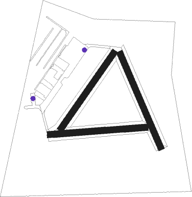
Runway info
Runway 16 / 34  | ||
| length | 720m (2362ft) | |
| bearing | 155° / 335° | |
| width | 46m (150ft) | |
| surface | asphalt | |
| Runway 03 / 21 | ||
| length | 650m (2133ft) | |
| bearing | 49° / 229° | |
| width | 46m (150ft) | |
| surface | asphalt | |
| Runway 11 / 29 | ||
| length | 680m (2231ft) | |
| bearing | 90° / 270° | |
| width | 45m (148ft) | |
| surface | asphalt | |
Nearby beacons
| code | identifier | dist | bearing | frequency |
|---|---|---|---|---|
| YTR | TRENTON NDB | 16.7 | 308° | 215 |
| UTR | TRENTON TACAN | 18.6 | 289° | 109.70 |
| ZZR | SEVERN (TRENTON) NDB | 21.3 | 277° | 317 |
| YGK | KINGSTON NDB | 29.5 | 60° | 263 |
| YCF | DME | 31.9 | 301° | 113.50 |
| VIE | COEHILL VOR/DME | 51.5 | 312° | 115.10 |
| FZ | FALLN (FULTON) NDB | 55.5 | 130° | 220 |
| ROC | ROCHESTER VOR/DME | 57.2 | 211° | 110 |
| SYR | SYRACUSE VORTAC | 64.2 | 132° | 117 |
Disclaimer
The information on this website is not for real aviation. Use this data with the X-Plane flight simulator only! Data taken with kind consent from X-Plane 12 source code and data files. Content is subject to change without notice.