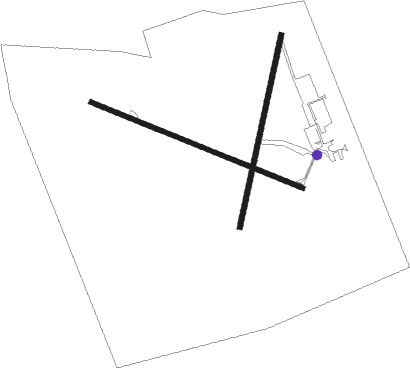
Lindsay
Airport details
| Country | Canada |
| State | Ontario |
| Region | CY |
| Airspace | Toronto Ctr |
| Municipality | Kawartha Lakes |
| Elevation | 895ft (273m) |
| Timezone | GMT -5 |
| Coordinates | 44.36479, -78.78384 |
| Magnetic var | |
| Type | land |
| Available since | X-Plane v10.40 |
| ICAO code | XCYCNF4 |
| IATA code | n/a |
| FAA code | n/a |
Communication
| Lindsay ATF | 122.800 |
| Lindsay Toronto Arrival | 134.250 |
| Lindsay Toronto Departure | 134.250 |
Nearby Points of Interest:
Canal Lake Concrete Arch Bridge
-Uxbridge railway station
-The Briars
-Sutton radial station
-Cream of Barley Mill

Nearby beacons
| code | identifier | dist | bearing | frequency |
|---|---|---|---|---|
| YPQ | PETERBOROUGH NDB | 16.5 | 115° | 379 |
| YSO | DME | 18.3 | 252° | 117.35 |
| OO | OSHAWA NDB | 27.1 | 195° | 391 |
| YO | DME-ILS | 27.1 | 193° | 111.35 |
| KZ | BUTTONVILLE NDB | 34.9 | 232° | 248 |
| VIE | COEHILL VOR/DME | 42.2 | 72° | 115.10 |
| TZ | GIBRALTAR POINT NDB | 52.1 | 219° | 257 |
| ZTO | WOODHILL (TORONTO) NDB | 54.6 | 236° | 403 |
| ZYZ | QUEENSWAY (TORONTO) NDB | 55.6 | 226° | 368 |
| YYZ | TORONTO VOR/DME | 56 | 230° | 112.15 |
| YTP | PEARSON (TORONTO) VOR/DME | 56.3 | 232° | 116.55 |
Disclaimer
The information on this website is not for real aviation. Use this data with the X-Plane flight simulator only! Data taken with kind consent from X-Plane 12 source code and data files. Content is subject to change without notice.