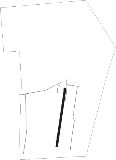
Reinheim
Airport details
| Country | Germany |
| State | Hesse |
| Region | |
| Airspace | Langen Ctr |
| Municipality | Reinheim |
| Elevation | 507ft (155m) |
| Timezone | GMT +1 |
| Coordinates | 49.83615, 8.84962 |
| Magnetic var | |
| Type | land |
| Available since | X-Plane v10.40 |
| ICAO code | XED12 |
| IATA code | n/a |
| FAA code | n/a |
Communication
| Reinheim Reinheim Segelflug | 135.005 |
Nearby Points of Interest:
Kirche Ueberau
-Burg Klein-Zimmern / St. Josephshaus
-Pfälzer Schloss
-Gans'scher Adelshof
-Rodensteiner Schloss
-Darmstädter Schloss
-Wallfahrtskirche Dieburg
-Schloss Dieburg
-Bessunger Forsthaus
-Dippelshof
-Menhiranlage von Darmstadt
-Evangelische Kirche Altheim
-Rathaus
-Alte Landwehr
-Bernhardtsbrünnchen
-Klipsteingrab und Klipsteineiche
-Bruchmühle
-Katholische Filialkirche St. Antonius
-Kesselhaus der ehemaligen Raffinerie
-Waldpavillon am Lindenberg
-Ernst-Ludwig-Heilstätte
-Evangelische Kirche Sandbach
-Hohlstraße 9 (Sandbach)
-Jagdschloesschen Carlsruhe
-Zehenmühle
Nearby beacons
| code | identifier | dist | bearing | frequency |
|---|---|---|---|---|
| CHA | CHARLIE VOR/DME | 8.9 | 66° | 115.35 |
| RID | RIED VOR/DME | 12.3 | 260° | 112.20 |
| FR | FRANKFURT NDB | 15.2 | 324° | 297 |
| FFM | FRANKFURT VORTAC | 15.4 | 316° | 114.20 |
| FRD | DME | 15.9 | 305° | 115.90 |
| VFM | NAUHEIM VOR | 16.4 | 288° | 113.75 |
| FW | FRANKFURT NDB | 19.1 | 292° | 382 |
| WIB | WIESBADEN TACAN | 24.3 | 291° | 114.10 |
| MND | DME | 25.4 | 222° | 113.55 |
| MTR | METRO VOR | 26.4 | 360° | 110 |
| NKR | NECKAR NDB | 30.3 | 193° | 292 |
| TAU | TAUNUS VOR/DME | 36.3 | 301° | 113.35 |
| GED | GEDERN VORTAC | 37.8 | 35° | 110.80 |
| KRH | KARLSRUHE VOR/DME | 51.6 | 197° | 115.95 |
| FUL | FULDA VOR/DME | 53.2 | 44° | 112.10 |
| SHD | HALL DME | 56.3 | 128° | 108.05 |
| SIL | SIEGERLAND NDB | 57.5 | 320° | 489 |
| LBU | LUBURG VOR/DME | 58.6 | 152° | 109.20 |
| SLD | DME | 60 | 318° | 108.05 |
Disclaimer
The information on this website is not for real aviation. Use this data with the X-Plane flight simulator only! Data taken with kind consent from X-Plane 12 source code and data files. Content is subject to change without notice.