Fulda Railway Station - Fulda Johannisau
Airport details
| Country | Germany |
| State | Hesse |
| Region | |
| Airspace | Langen Ctr |
| Municipality | Fulda |
| Elevation | 818ft (249m) |
| Timezone | GMT +1 |
| Coordinates | 50.53584, 9.65998 |
| Magnetic var | |
| Type | land |
| Available since | X-Plane v10.40 |
| ICAO code | XEDDD |
| IATA code | n/a |
| FAA code | n/a |
Communication
| Fulda JohannisAu Johannisau Start | 125.385 |
Nearby Points of Interest:
Propstei Johannesberg
-Fulda
-Palais Altenstein
-Richthalle Fulda
-Saint Joseph Chapel
-Jagdschloss Giesel
-Kriegerdenkmal
-Church of the Assumption
-Heilig Kreuz
-Kloster Blankenau
-Synagoge Flieden
-St. Vitus
-Saint Mary Chapel (Jossa, Hosenfeld)
-Evangelische Kirche Schlotzau
-Jewish cemetery, Burghaun
-Eisenbacher Straße 1
-Evangelische Kirche Altenschlirf
-Wallfahrtskirche
-Pfarrkirche
-Naxburg
-Eisenbahnbrücke (Frischborn)
-Filialkirche
-Am Eichberg 37
-Am Eichberg 41
-Stadtkirche Lauterbach
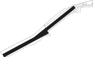
Runway info
Runway 05 / 23  | ||
| length | 451m (1480ft) | |
| bearing | 67° / 247° | |
| width | 27m (89ft) | |
| surface | grass | |
| Runway 06 / 24 | ||
| length | 450m (1476ft) | |
| bearing | 75° / 255° | |
| width | 30m (100ft) | |
| surface | grass | |
Nearby beacons
| code | identifier | dist | bearing | frequency |
|---|---|---|---|---|
| FUL | FULDA VOR/DME | 4.7 | 303° | 112.10 |
| GED | GEDERN VORTAC | 17.3 | 253° | 110.80 |
| FTZ | FRITZLAR NDB | 34.2 | 336° | 468 |
| MTR | METRO VOR | 34.7 | 252° | 110 |
| CHA | CHARLIE VOR/DME | 43.9 | 225° | 115.35 |
| FR | FRANKFURT NDB | 46.9 | 244° | 297 |
| DKS | DME-ILS | 54 | 344° | 111.50 |
| WRB | WARBURG VOR/DME | 61.8 | 330° | 113.70 |
Disclaimer
The information on this website is not for real aviation. Use this data with the X-Plane flight simulator only! Data taken with kind consent from X-Plane 12 source code and data files. Content is subject to change without notice.