Middenmeer
Airport details
| Country | Netherlands |
| State | North Holland |
| Region | |
| Airspace | Amsterdam Ctr |
| Municipality | Middenmeer |
| Elevation | 0ft (0m) |
| Timezone | GMT +1 |
| Coordinates | 52.81355, 5.01753 |
| Magnetic var | |
| Type | land |
| Available since | X-Plane v10.40 |
| ICAO code | XEH24 |
| IATA code | n/a |
| FAA code | n/a |
Communication
| Middenmeer Middenmeer | 123.425 |
Nearby Points of Interest:
Hervormde Kerk
-Stadhuis
-Kaasmarkt 2, Medemblik
-Synagoge
-Vooreiland 15, Medemblik
-Vooreiland 22, Medemblik
-Westeinde 4, Opperdoes
-Gemeenschapsgebouw Slootdorp
-Stoomgemaal Vier Noorder Koggen
-Nederlands Hervormde Kerk, Aartswoud
-Toren oude dorpskerk
-Lucaskerk
-Gouwe 48, Hoogwoud
-Sint-Lambertuskerk
-Nicolaaskerk
-Hervormde kerk (Wieringerwaard)
-Railway station Wieringerwaard
-Nederlands Hervormde Kerk
-Pand onder zadeldak tussen topgevels; houten topgevelbeschieting aan de voorzijde.
-Marienhof
-Dorpsstraat 116, Nieuwe Niedorp
-Pastorie van de Nederlands Hervormde gemeente
-Afsluitdijk and Stevinsluizen in Den Oever
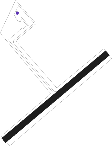
Runway info
| Runway 05 / 23 | ||
| length | 586m (1923ft) | |
| bearing | 67° / 247° | |
| width | 27m (90ft) | |
| surface | grass | |
Nearby beacons
| code | identifier | dist | bearing | frequency |
|---|---|---|---|---|
| HDR | HELDER DME | 10.7 | 290° | 115.55 |
| SPY | DME | 17.4 | 211° | 113.30 |
| FRO | DME | 28.1 | 126° | 111.40 |
| PAM | PAMPUS VOR/DME | 28.8 | 171° | 117.80 |
| SPL | SCHIPHOL (AMSTERDAM) VOR/DME | 30.5 | 209° | 108.40 |
| AMS | DME | 31 | 213° | 113.95 |
| LWD | LEEUWARDEN TACAN | 36.1 | 61° | 114.70 |
| FRT | DME | 49.4 | 197° | 117.15 |
| RTM | ROTTERDAM VOR/DME | 54.1 | 213° | 110.40 |
| DLN | DEELEN TACAN | 55.1 | 131° | 112.20 |
Disclaimer
The information on this website is not for real aviation. Use this data with the X-Plane flight simulator only! Data taken with kind consent from X-Plane 12 source code and data files. Content is subject to change without notice.